Transport Functions
Port
Fixed Transport
Hub Profile
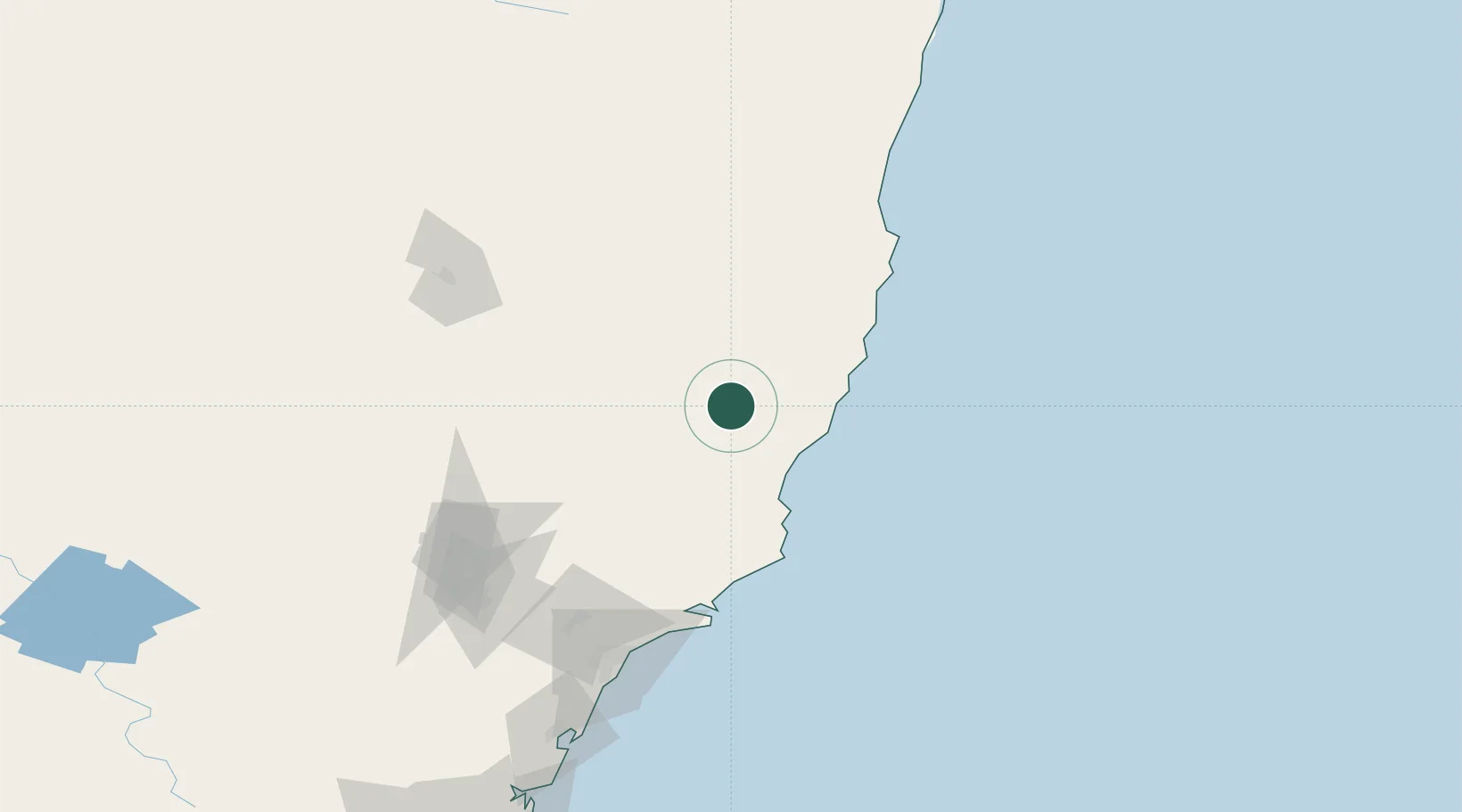
Place type
Populated place
Region
New South Wales
Population
149
Time zone
Australia/Sydney
Elevation
162 m
Location
Nearby Logistics Neighbours
Cities
- 1Wingham18 km
- 2Kendall45 km
- 3Gloucester45 km
- 4Laurieton49 km
- 5Coomba Park60 km
Ports
- 1Newcastle142 km
- 2Sydney260 km
- 3Botany Bay272 km
- 4Port Kembla333 km
- 5Ballina340 km
Airports
- 1Taree Airport29 km
- 2Port Macquarie Airport63 km
- 3Kempsey Airport85 km
- 4Newcastle Airport127 km
- 5Armidale Airport147 km
Trade Zones
DatabookThe Record of Consolidated Knowledge
Australia beyond logistics?