UN/LOCODE hub · Australia
AUJML

Laurieton

-31.6500°, 152.8000°
2
Transport functions

Transport Functions

Port
Multimodal
UN/LOCODE

Hub Profile

Region
NSW
GeoNames

Location

Location of AUJML
Natural Earth 10m (public domain) · NSW · AUJML · -31.65, 152.80GoogleOSMYandex

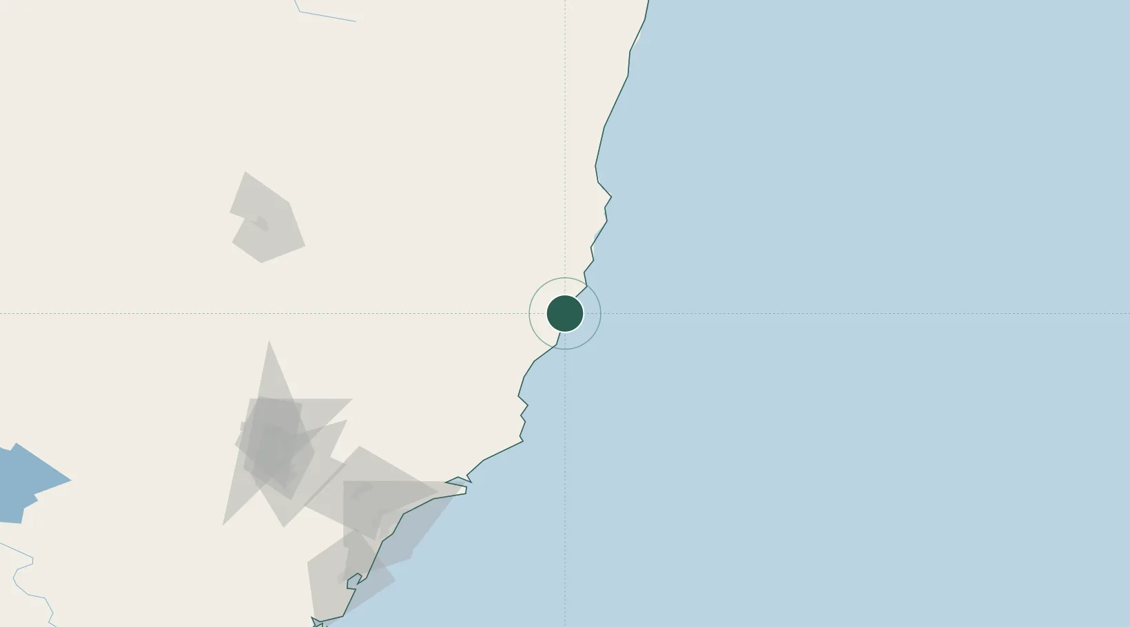
Nearby Logistics Neighbours

Cities
  1. 1Kendall8 km
  2. 2Wingham48 km
  3. 3Bobin49 km
  4. 4Coomba Park72 km
  5. 5Gloucester89 km
Nearest neighbours — logibook spatial index (haversine) over the source coordinates
Ports
  1. 1Newcastle170 km
  2. 2Sydney288 km
  3. 3Botany Bay300 km
  4. 4Ballina318 km
  5. 5Port Kembla361 km
Nearest neighbours — logibook spatial index (haversine) over the source coordinates
Airports
  1. 1Port Macquarie Airport25 km
  2. 2Taree Airport38 km
  3. 3Kempsey Airport64 km
  4. 4Coffs Harbour Airport151 km
  5. 5Newcastle Airport157 km
Nearest neighbours — logibook spatial index (haversine) over the source coordinates
Trade Zones
  1. 1Latrobe Valley Economic Growth Zone936 km
  2. 2Vanuatu Economic Development Zone2311 km
  3. 3Hicks Bay Area Special Economic Zone2402 km
  4. 4Paga Hill Estate Special Economic Zone2533 km
  5. 5Tulagi Island Special Economic Zone2619 km
Nearest neighbours — logibook spatial index (haversine) over the source coordinates
DatabookThe Record of Consolidated Knowledge
Australia beyond logistics?
Browse databook

All Sources

LocationsUN/LOCODE
UN/LOCODE — free
Portsthe NGA World Port Index
Public domain (US gov)
AirportsOurAirports
Public domain
Trade Zonesthe World Bank SEZ database
CC BY 4.0
Trade ZonesOpen Zone Map
CC BY
← Australia locations