Medium airport · Australia
Kempsey AirportYKMP
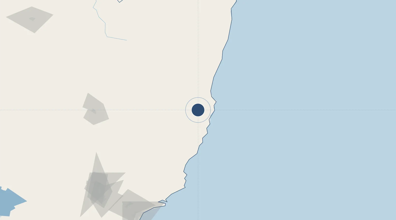
-31.0723°, 152.7653°
5,413 ft
Longest runway
2
Runways
54 ft
Elevation
Runway & Layout

Radio Frequencies
CTAF
118.9 MHz
FSS
120.55 MHz
BRISBANE CNTR
Navaids
KMP NDB Kempsey 230 kHz
Runways · 2
| Runway | Dimensions | Surface | True heading | Lit |
|---|---|---|---|---|
| 04/22 | 5,413 × 98ft | Asphalt | 054° | ✓ |
| 16/34 | 2,014 × 60ft | Grass | 170° | — |
Airport Specifications
IATA code
KPS
ICAO code
YKMP
Airport class
Medium airport
Scheduled service
No
Runway surface
Asphalt
Location
Nearby Logistics Neighbours
Airports
- 1Port Macquarie Airport42 km
- 2Coffs Harbour Airport90 km
- 3Taree Airport94 km
- 4Armidale Airport125 km
- 5Clarence Valley Regional Airport149 km
Cities
- 1Kendall59 km
- 2Laurieton64 km
- 3Bobin85 km
- 4Wingham96 km
- 5Gloucester129 km
Ports
- 1Newcastle225 km
- 2Ballina257 km
- 3Sydney344 km
- 4Botany Bay356 km
- 5Brisbane402 km
Trade Zones
DatabookThe Record of Consolidated Knowledge
Australia beyond logistics?