Medium airport · Australia
Taree AirportYTRE
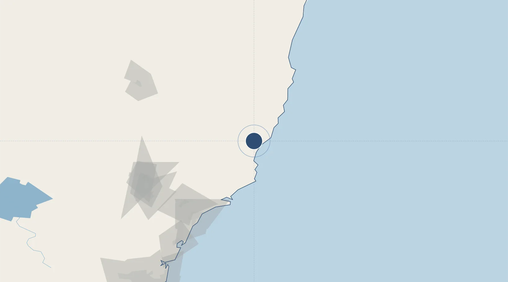
-31.8886°, 152.5140°
4,934 ft
Longest runway
2
Runways
38 ft
Elevation
Runway & Layout

Radio Frequencies
CTAF
118.1 MHz
FSS
120.55 MHz
BRISBANE CNTR
Navaids
TRE NDB Taree 371 kHz
Runways · 2
| Runway | Dimensions | Surface | True heading | Lit |
|---|---|---|---|---|
| 04/22 | 4,934 × 98ft | Asphalt | 045° | ✓ |
| 12/30 | 1,850 × 60ft | Clay | 138° | — |
Airport Specifications
IATA code
TRO
ICAO code
YTRE
Airport class
Medium airport
Scheduled service
No
Runway surface
Asphalt
Served city
Taree
Location
Nearby Logistics Neighbours
Airports
- 1Port Macquarie Airport60 km
- 2Kempsey Airport94 km
- 3Newcastle Airport119 km
- 4Armidale Airport174 km
- 5Tamworth Airport182 km
Cities
- 1Wingham14 km
- 2Bobin29 km
- 3Laurieton38 km
- 4Kendall38 km
- 5Coomba Park39 km
Ports
- 1Newcastle133 km
- 2Sydney252 km
- 3Botany Bay263 km
- 4Port Kembla325 km
- 5Ballina351 km
Trade Zones
DatabookThe Record of Consolidated Knowledge
Australia beyond logistics?