Medium airport · Australia

Port Macquarie AirportYPMQ
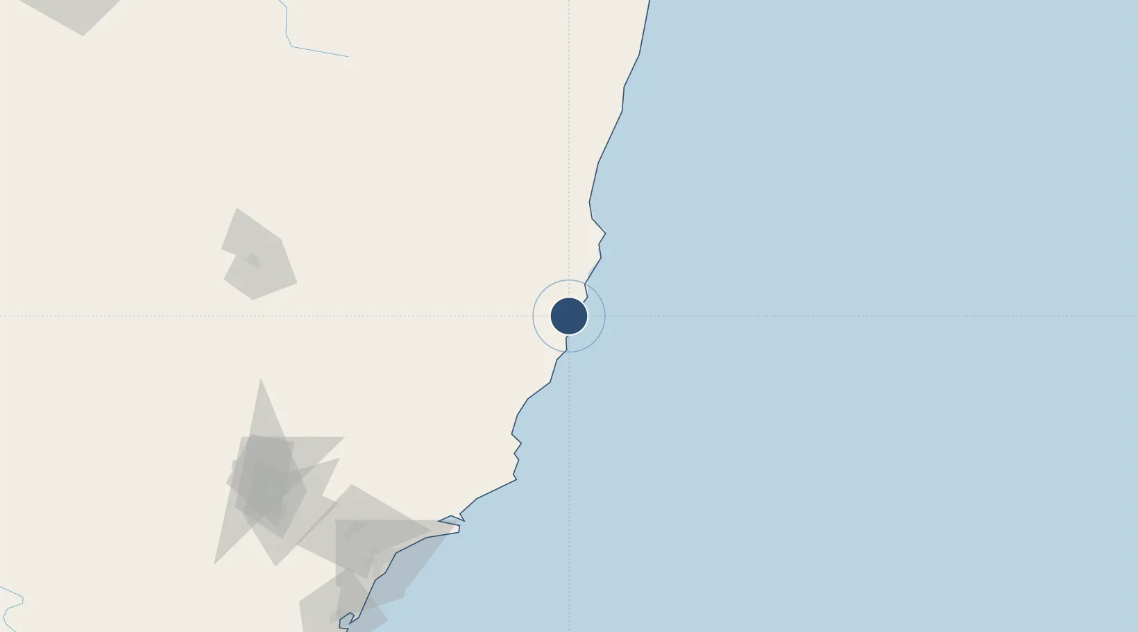
-31.4358°, 152.8630°
5,203 ft
Longest runway
1
Runways
12 ft
Elevation

Runway & Layout

Port Macquarie Airport runway & taxiway layout
Runway & taxiway layout — OpenStreetMap (ODbL) / OurAirports

Radio Frequencies

CTAF
118.1 MHz
FSS
120.55 MHz
BRISBANE CNTR
OurAirports

Navaids

PMQ NDB Port Macquarie 395 kHz
OurAirports

Runways · 1

RunwayDimensions SurfaceTrue headingLit
03/21 5,203 × 98ft Asphalt 030°
OurAirports

Airport Specifications

IATA code
PQQ
OurAirports
ICAO code
YPMQ
OurAirports
Airport class
Medium airport
OurAirports
Scheduled service
Yes
OurAirports
Runway surface
Asphalt
OurAirports
Served city
Port Macquarie
OurAirports

Location

Location of YPMQ
Natural Earth 10m (public domain) · New South Wales · YPMQ · -31.44, 152.86GoogleOSMYandex

Nearby Logistics Neighbours

Airports
  1. 1Kempsey Airport42 km
  2. 2Taree Airport60 km
  3. 3Coffs Harbour Airport126 km
  4. 4Armidale Airport156 km
  5. 5Newcastle Airport180 km
Nearest neighbours — logibook spatial index (haversine) over the source coordinates
Cities
  1. 1Kendall22 km
  2. 2Laurieton25 km
  3. 3Bobin63 km
  4. 4Wingham67 km
  5. 5Coomba Park96 km
Nearest neighbours — logibook spatial index (haversine) over the source coordinates
Ports
  1. 1Newcastle194 km
  2. 2Ballina294 km
  3. 3Sydney312 km
  4. 4Botany Bay323 km
  5. 5Port Kembla384 km
Nearest neighbours — logibook spatial index (haversine) over the source coordinates
Trade Zones
  1. 1Latrobe Valley Economic Growth Zone959 km
  2. 2Vanuatu Economic Development Zone2290 km
  3. 3Hicks Bay Area Special Economic Zone2406 km
  4. 4Paga Hill Estate Special Economic Zone2512 km
  5. 5Tulagi Island Special Economic Zone2595 km
Nearest neighbours — logibook spatial index (haversine) over the source coordinates
DatabookThe Record of Consolidated Knowledge
Australia beyond logistics?
Browse databook

All Sources

AirportsOurAirports
Public domain
Portsthe NGA World Port Index
Public domain (US gov)
LocationsUN/LOCODE
UN/LOCODE — free
Trade Zonesthe World Bank SEZ database
CC BY 4.0
Trade ZonesOpen Zone Map
CC BY
InfrastructureOpenStreetMap
ODbL 1.0
← Australia airports