Medium airport · Australia

Armidale AirportYARM
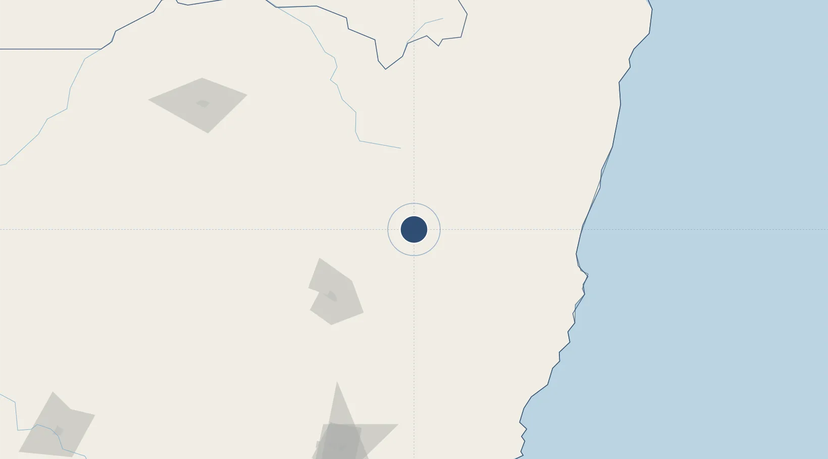
-30.5281°, 151.6170°
5,702 ft
Longest runway
2
Runways
3,556 ft
Elevation

Runway & Layout

Armidale Airport runway & taxiway layout
Runway & taxiway layout — OpenStreetMap (ODbL) / OurAirports

Radio Frequencies

CTAF
127.5 MHz
FSS
125.75 MHz
BRISBANE CNTR
OurAirports

Navaids

ARM NDB-DME Armidale 0.40 MHz
OurAirports

Runways · 2

RunwayDimensions SurfaceTrue headingLit
05/23 5,702 × 98ft Asphalt 058°
09/27 3,661 × 98ft Gravel 097°
OurAirports

Airport Specifications

IATA code
ARM
OurAirports
ICAO code
YARM
OurAirports
Airport class
Medium airport
OurAirports
Scheduled service
Yes
OurAirports
Runway surface
Asphalt
OurAirports
Served city
Armidale
OurAirports

Location

Location of YARM
Natural Earth 10m (public domain) · New South Wales · YARM · -30.53, 151.62GoogleOSMYandex

Nearby Logistics Neighbours

Airports
  1. 1Inverell Airport84 km
  2. 2Glen Innes Airport95 km
  3. 3Tamworth Airport96 km
  4. 4Kempsey Airport125 km
  5. 5Gunnedah Airport139 km
Nearest neighbours — logibook spatial index (haversine) over the source coordinates
Cities
  1. 1Sylvania Waters73 km
  2. 2Werris Creek131 km
  3. 3Bobin147 km
  4. 4Kendall160 km
  5. 5Wingham165 km
Nearest neighbours — logibook spatial index (haversine) over the source coordinates
Ports
  1. 1Ballina264 km
  2. 2Newcastle266 km
  3. 3Brisbane367 km
  4. 4Sydney373 km
  5. 5Botany Bay388 km
Nearest neighbours — logibook spatial index (haversine) over the source coordinates
Trade Zones
  1. 1Latrobe Valley Economic Growth Zone982 km
  2. 2Vanuatu Economic Development Zone2302 km
  3. 3Paga Hill Estate Special Economic Zone2386 km
  4. 4Tulagi Island Special Economic Zone2541 km
  5. 5Ihu Special Economic Zone2599 km
Nearest neighbours — logibook spatial index (haversine) over the source coordinates
DatabookThe Record of Consolidated Knowledge
Australia beyond logistics?
Browse databook

All Sources

AirportsOurAirports
Public domain
Portsthe NGA World Port Index
Public domain (US gov)
LocationsUN/LOCODE
UN/LOCODE — free
Trade Zonesthe World Bank SEZ database
CC BY 4.0
Trade ZonesOpen Zone Map
CC BY
InfrastructureOpenStreetMap
ODbL 1.0
← Australia airports