Transport Functions
Multimodal
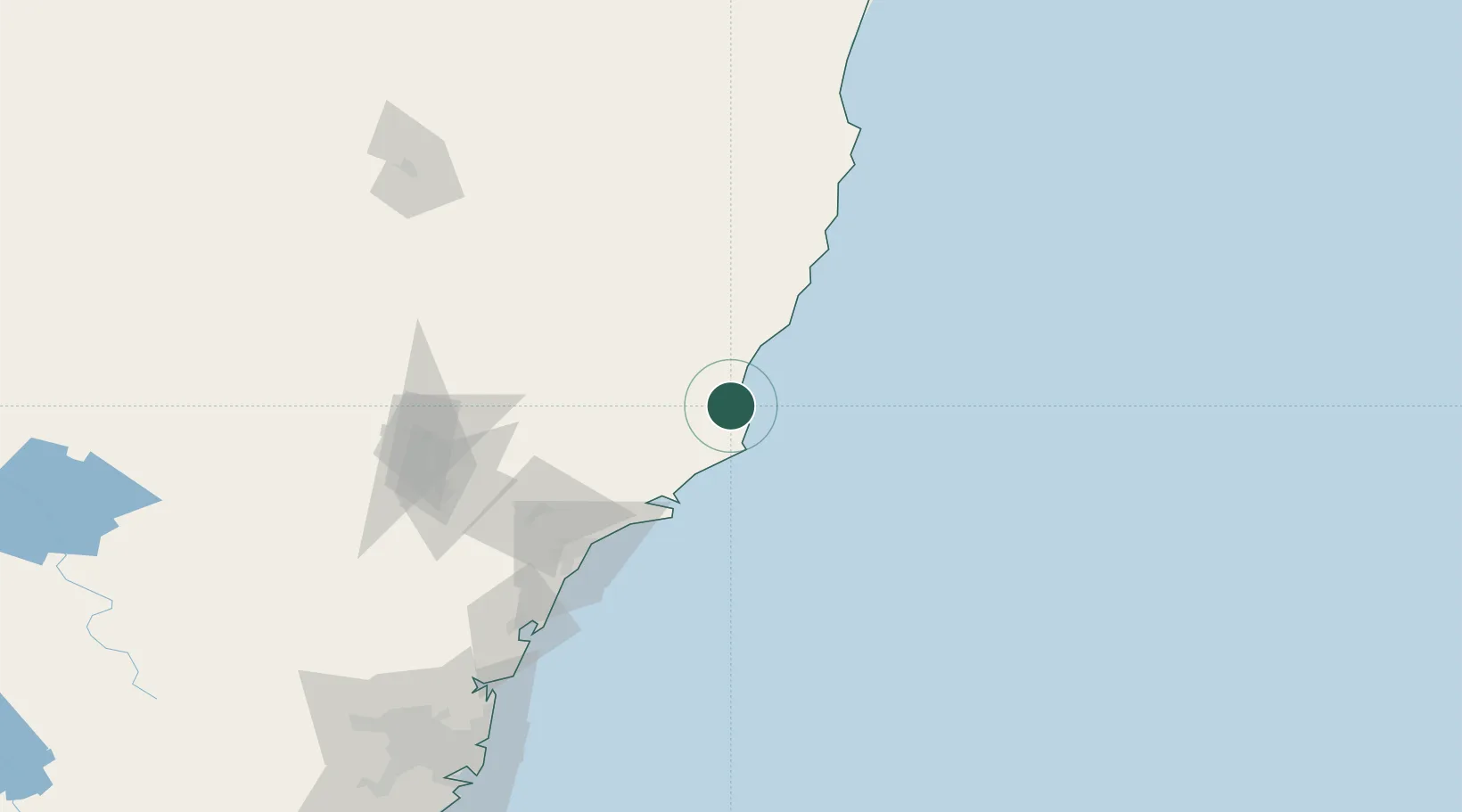
Hub Profile
Place type
Populated place
Region
New South Wales
Population
594
Time zone
Australia/Sydney
Elevation
21 m
Location
Nearby Logistics Neighbours
Cities
- 1Wingham42 km
- 2Gloucester53 km
- 3Carrington56 km
- 4Tea Gardens57 km
- 5Bobin60 km
Ports
- 1Newcastle99 km
- 2Sydney217 km
- 3Botany Bay228 km
- 4Port Kembla289 km
- 5Jervis Bay356 km
Airports
- 1Taree Airport39 km
- 2Newcastle Airport86 km
- 3Port Macquarie Airport96 km
- 4Kempsey Airport132 km
- 5Palm Beach Seaplane Base185 km
Trade Zones
DatabookThe Record of Consolidated Knowledge
Australia beyond logistics?