Transport Functions
Rail
Road
Hub Profile
Place type
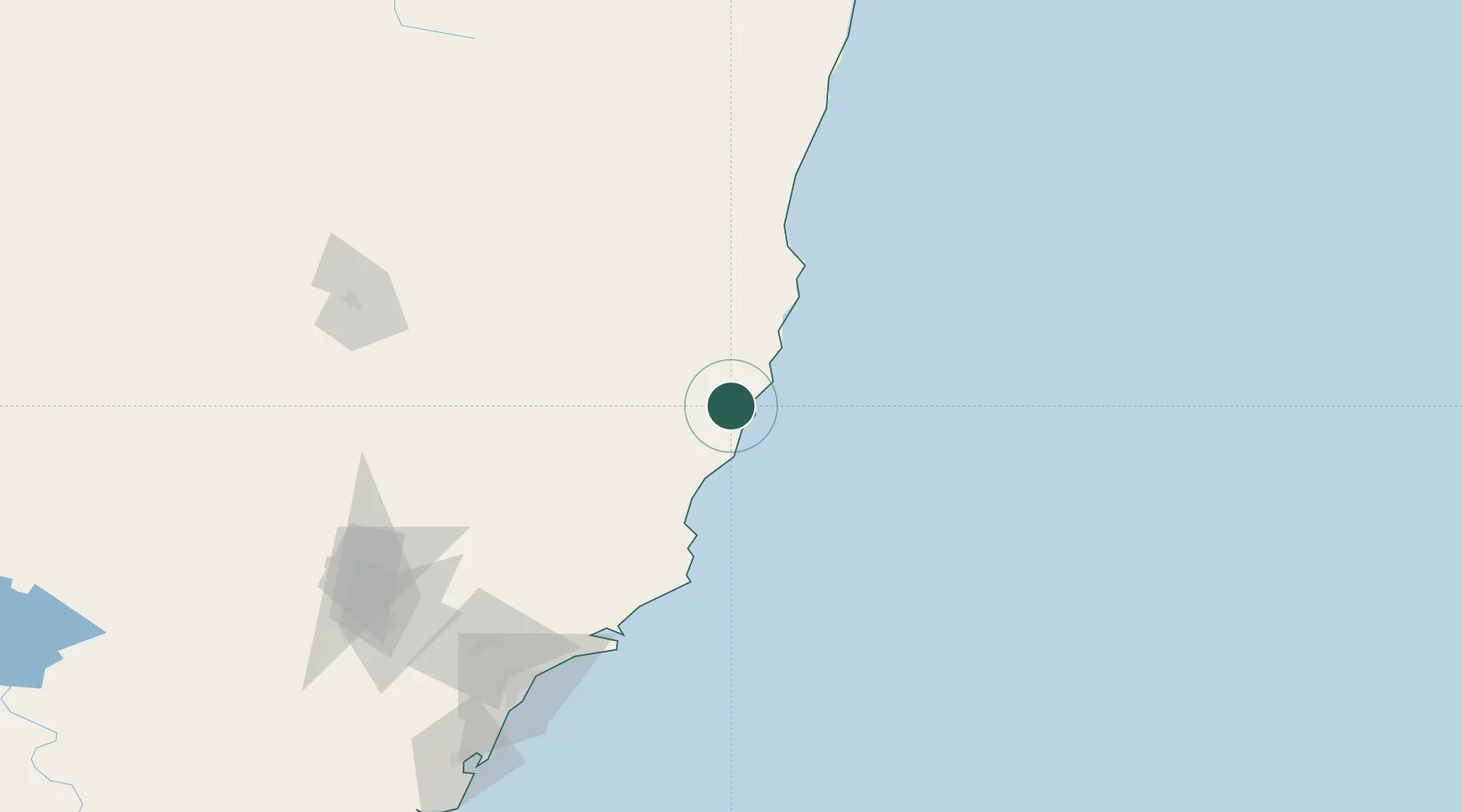
Populated place
Region
New South Wales
Population
1,109
Time zone
Australia/Sydney
Elevation
21 m
Location
Nearby Logistics Neighbours
Cities
- 1Laurieton8 km
- 2Bobin45 km
- 3Wingham46 km
- 4Coomba Park75 km
- 5Gloucester86 km
Ports
- 1Newcastle172 km
- 2Sydney290 km
- 3Botany Bay301 km
- 4Ballina314 km
- 5Port Kembla363 km
Airports
- 1Port Macquarie Airport22 km
- 2Taree Airport38 km
- 3Kempsey Airport59 km
- 4Coffs Harbour Airport147 km
- 5Newcastle Airport158 km
Trade Zones
DatabookThe Record of Consolidated Knowledge
Australia beyond logistics?