UN/LOCODE hub · Australia
AUWCK
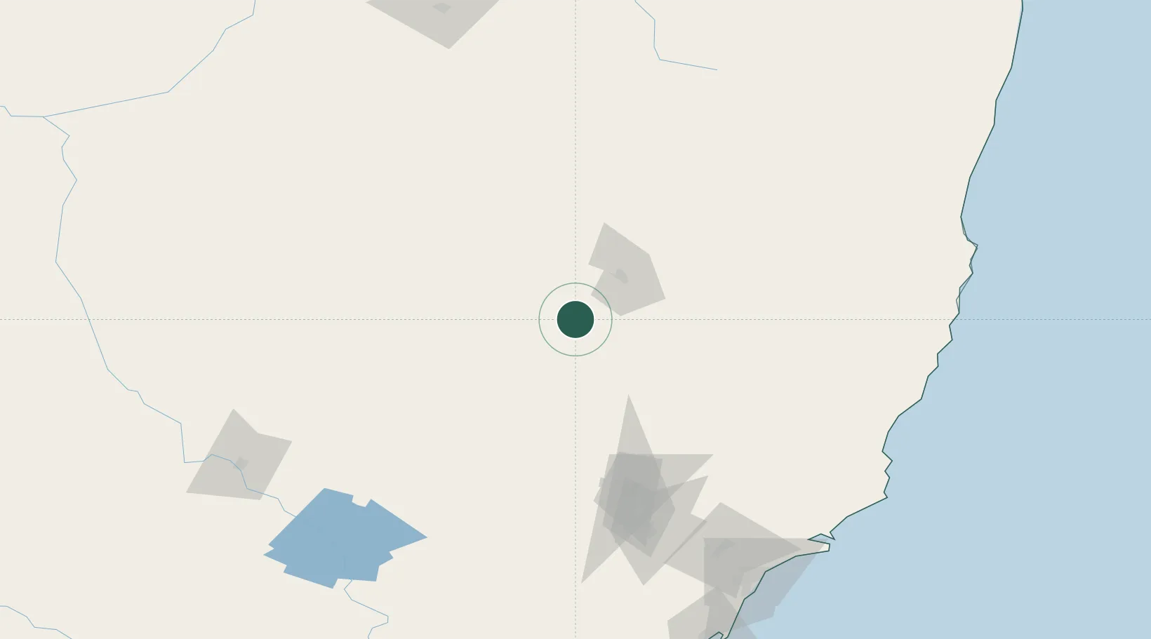
Werris Creek
-31.3590°, 150.6440°
1,530
Population
2
Transport functions
Transport Functions
Rail
Road
Hub Profile
Place type
Populated place
Region
New South Wales
Population
1,530
Time zone
Australia/Sydney
Elevation
389 m
Logistics facilities
1
Location
Nearby Logistics Neighbours
Cities
- 1Sylvania Waters58 km
- 2Baerami117 km
- 3Dunedoo139 km
- 4Gloucester145 km
- 5Dungog157 km
Ports
- 1Newcastle204 km
- 2Sydney284 km
- 3Botany Bay299 km
- 4Port Kembla348 km
- 5Ballina395 km
Airports
- 1Tamworth Airport37 km
- 2Gunnedah Airport58 km
- 3Coonabarabran Airport131 km
- 4Armidale Airport131 km
- 5Narrabri Airport140 km
Trade Zones
DatabookThe Record of Consolidated Knowledge
Australia beyond logistics?