UN/LOCODE hub · Australia
AUBAE

Baerami

-32.4000°, 150.4833°
66
Population
2
Transport functions

Transport Functions

Port
Multimodal
UN/LOCODE

Hub Profile

Place type
Populated place
GeoNames
Region
New South Wales
GeoNames
Population
66
GeoNames
Time zone
Australia/Sydney
GeoNames
Elevation
143 m
GeoNames

Location

Location of AUBAE
Natural Earth 10m (public domain) · New South Wales · AUBAE · -32.40, 150.48GoogleOSMYandex

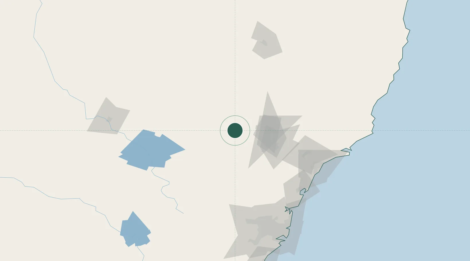
Nearby Logistics Neighbours

Cities
  1. 1Milbrodale70 km
  2. 2Broke70 km
  3. 3Dunedoo111 km
  4. 4Werris Creek117 km
  5. 5Beresfield118 km
Nearest neighbours — logibook spatial index (haversine) over the source coordinates
Ports
  1. 1Newcastle135 km
  2. 2Sydney176 km
  3. 3Botany Bay191 km
  4. 4Port Kembla235 km
  5. 5Jervis Bay304 km
Nearest neighbours — logibook spatial index (haversine) over the source coordinates
Airports
  1. 1Mudgee Airport84 km
  2. 2Newcastle Airport134 km
  3. 3Bathurst Airport136 km
  4. 4RAAF Base Richmond137 km
  5. 5Tamworth Airport151 km
Nearest neighbours — logibook spatial index (haversine) over the source coordinates
Trade Zones
  1. 1Latrobe Valley Economic Growth Zone747 km
  2. 2Vanuatu Economic Development Zone2523 km
  3. 3Paga Hill Estate Special Economic Zone2571 km
  4. 4Hicks Bay Area Special Economic Zone2574 km
  5. 5Tulagi Island Special Economic Zone2775 km
Nearest neighbours — logibook spatial index (haversine) over the source coordinates
DatabookThe Record of Consolidated Knowledge
Australia beyond logistics?
Browse databook

All Sources

LocationsUN/LOCODE
UN/LOCODE — free
LocationsGeoNames
CC BY 4.0
Portsthe NGA World Port Index
Public domain (US gov)
AirportsOurAirports
Public domain
Trade Zonesthe World Bank SEZ database
CC BY 4.0
Trade ZonesOpen Zone Map
CC BY
← Australia locations