UN/LOCODE hub · Australia
AUSWS
Sylvania Waters
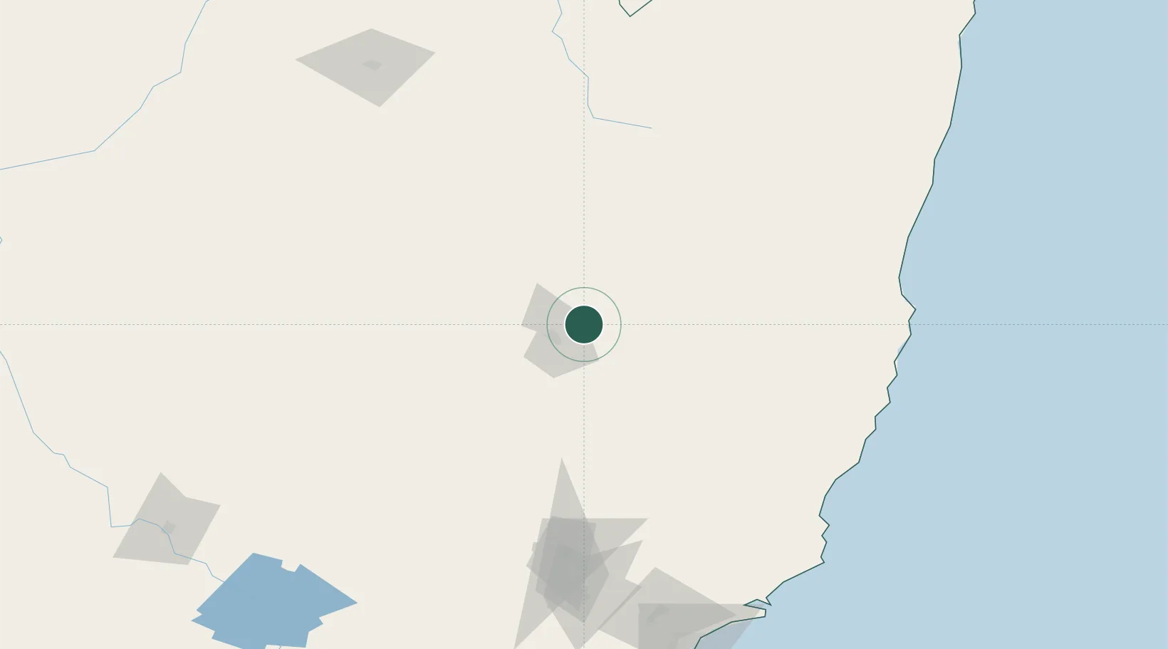
-31.0167°, 151.1000°
3,127
Population
1
Transport functions
Transport Functions
Multimodal
Hub Profile
Place type
Urban district
Region
New South Wales
Population
3,127
Time zone
Australia/Sydney
Elevation
6 m
Location
Nearby Logistics Neighbours
Cities
- 1Werris Creek58 km
- 2Bobin137 km
- 3Gloucester138 km
- 4Wingham153 km
- 5Baerami165 km
Ports
- 1Newcastle221 km
- 2Sydney317 km
- 3Botany Bay332 km
- 4Ballina337 km
- 5Port Kembla386 km
Airports
- 1Tamworth Airport25 km
- 2Armidale Airport73 km
- 3Gunnedah Airport81 km
- 4Inverell Airport126 km
- 5Narrabri Airport144 km
Trade Zones
DatabookThe Record of Consolidated Knowledge
Australia beyond logistics?