Transport Functions
Rail
Road
Hub Profile
Place type
Populated place
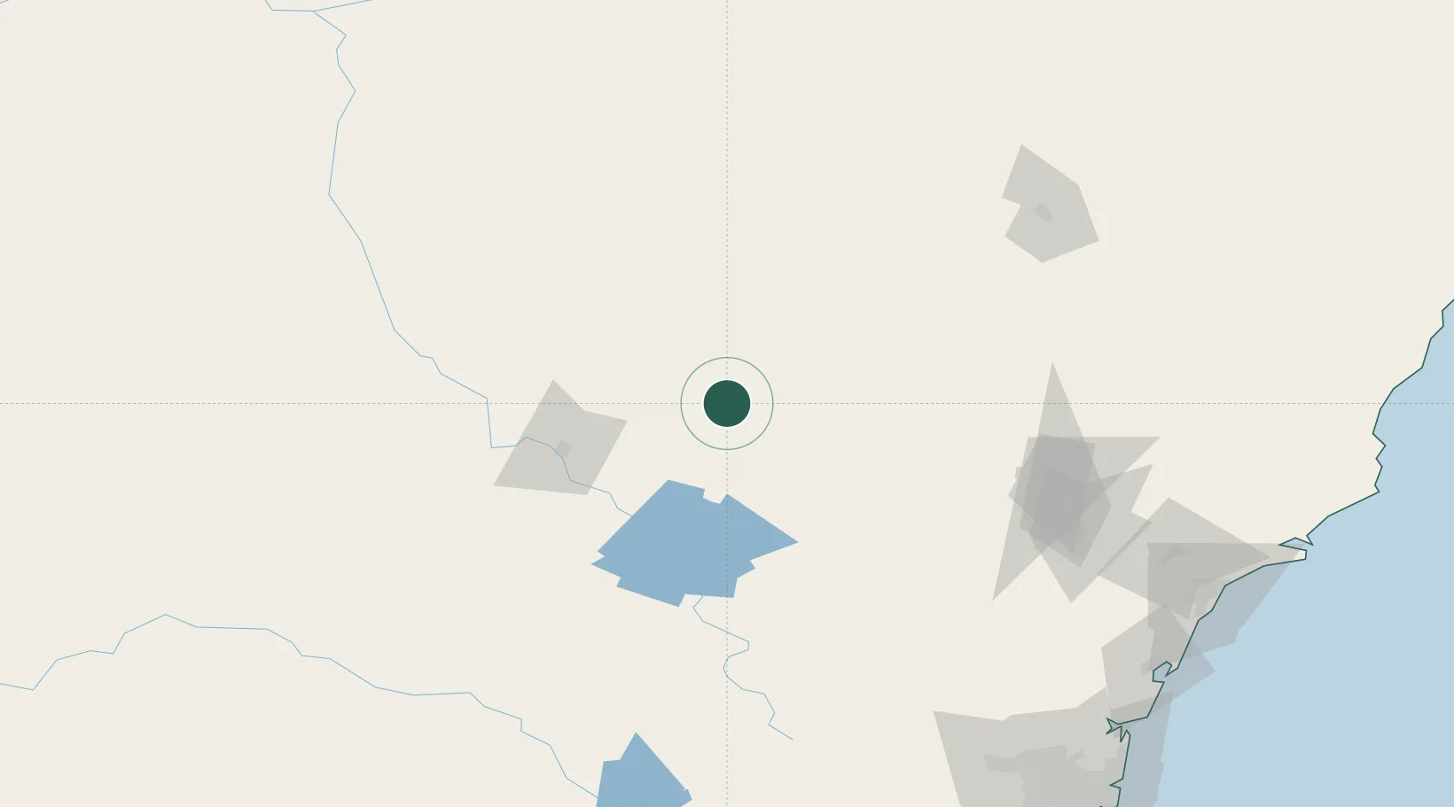
Region
New South Wales
Population
1,250
Time zone
Australia/Sydney
Elevation
384 m
Location
Nearby Logistics Neighbours
Cities
- 1Baerami111 km
- 2Narromine113 km
- 3Werris Creek139 km
- 4Spring Hill155 km
- 5Kelso157 km
Ports
- 1Newcastle245 km
- 2Sydney266 km
- 3Botany Bay279 km
- 4Port Kembla308 km
- 5Jervis Bay368 km
Airports
- 1Mudgee Airport64 km
- 2Coonabarabran Airport77 km
- 3Dubbo City Regional Airport81 km
- 4Narromine Airport113 km
- 5Gunnedah Airport143 km
Trade Zones
DatabookThe Record of Consolidated Knowledge
Australia beyond logistics?