Medium airport · Australia
Tamworth AirportYSTW
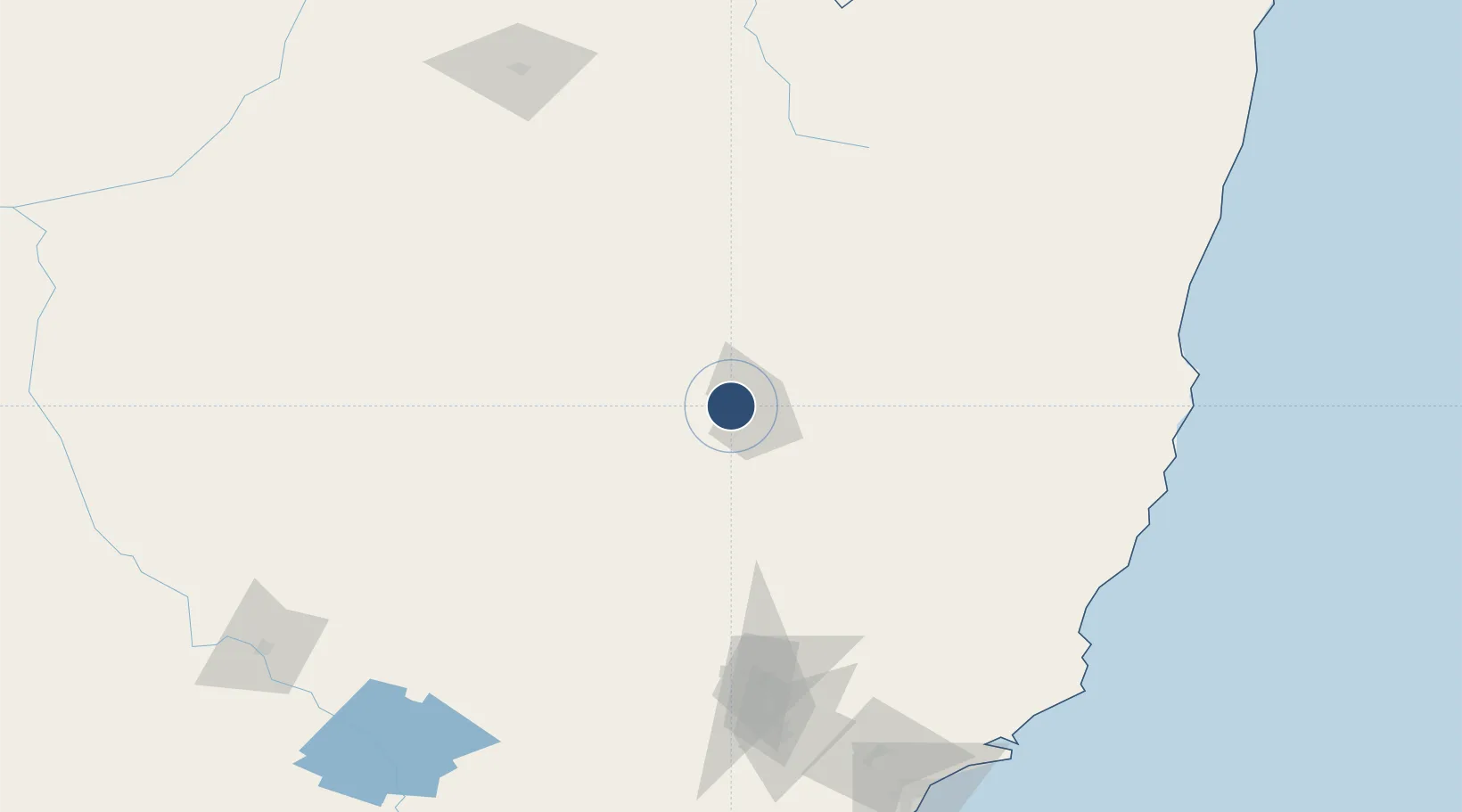
-31.0779°, 150.8455°
7,218 ft
Longest runway
4
Runways
1,334 ft
Elevation
Runway & Layout

Radio Frequencies
ATIS
116 MHz
TWR
118.25 MHz
CTAF
119.4 MHz
FSS
127.1 MHz
BRISBANE CNTR
GCCD
121.9 MHz
GND CLNC DEL
Navaids
TW VOR-DME Tamworth 116.00 MHz
TW NDB Tamworth 341 kHz
Runways · 4
| Runway | Dimensions | Surface | True heading | Lit |
|---|---|---|---|---|
| 12L/30R | 7,218 × 148ft | Asphalt | 133° | ✓ |
| 12R/30L | 3,642 × 60ft | Asphalt | 133° | — |
| 18/36 | 3,346 × 98ft | Grass | 188° | — |
| 06/24 | 2,762 × 98ft | Grass | 073° | — |
Airport Specifications
IATA code
TMW
ICAO code
YSTW
Airport class
Medium airport
Scheduled service
Yes
Runway surface
Asphalt
Served city
Tamworth
Location
Nearby Logistics Neighbours
Airports
- 1Gunnedah Airport58 km
- 2Armidale Airport96 km
- 3Narrabri Airport129 km
- 4Inverell Airport135 km
- 5Coonabarabran Airport153 km
Cities
- 1Sylvania Waters25 km
- 2Werris Creek37 km
- 3Gloucester149 km
- 4Baerami151 km
- 5Bobin154 km
Ports
- 1Newcastle223 km
- 2Sydney312 km
- 3Botany Bay327 km
- 4Ballina359 km
- 5Port Kembla379 km
Trade Zones
DatabookThe Record of Consolidated Knowledge
Australia beyond logistics?