Medium airport · Australia

Narrabri AirportYNBR
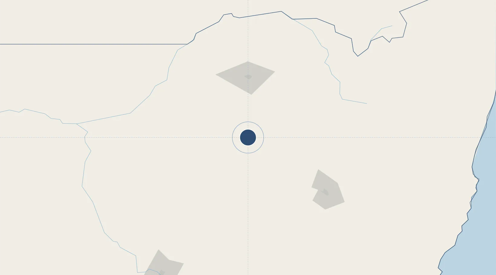
-30.3192°, 149.8270°
5,000 ft
Longest runway
2
Runways
788 ft
Elevation

Runway & Layout

Narrabri Airport runway & taxiway layout
Runway & taxiway layout — OpenStreetMap (ODbL) / OurAirports

Radio Frequencies

CTAF
126.7 MHz
FSS
127.1 MHz
BRISBANE CNTR
OurAirports

Navaids

NBR NDB Narrabri 413 kHz
OurAirports

Runways · 2

RunwayDimensions SurfaceTrue headingLit
18/36 5,000 × 98ft Asphalt 193°
09/27 3,980 × 98ft Grass 095°
OurAirports

Airport Specifications

IATA code
NAA
OurAirports
ICAO code
YNBR
OurAirports
Airport class
Medium airport
OurAirports
Scheduled service
Yes
OurAirports
Runway surface
Asphalt
OurAirports
Served city
Narrabri
OurAirports

Location

Location of YNBR
Natural Earth 10m (public domain) · New South Wales · YNBR · -30.32, 149.83GoogleOSMYandex

Nearby Logistics Neighbours

Airports
  1. 1Gunnedah Airport82 km
  2. 2Moree Airport91 km
  3. 3Coonabarabran Airport125 km
  4. 4Tamworth Airport129 km
  5. 5Inverell Airport135 km
Nearest neighbours — logibook spatial index (haversine) over the source coordinates
Cities
  1. 1Burren Junction86 km
  2. 2Werris Creek140 km
  3. 3Sylvania Waters144 km
  4. 4Dunedoo193 km
  5. 5Baerami240 km
Nearest neighbours — logibook spatial index (haversine) over the source coordinates
Ports
  1. 1Newcastle343 km
  2. 2Ballina396 km
  3. 3Sydney415 km
  4. 4Botany Bay430 km
  5. 5Brisbane445 km
Nearest neighbours — logibook spatial index (haversine) over the source coordinates
Trade Zones
  1. 1Latrobe Valley Economic Growth Zone935 km
  2. 2Paga Hill Estate Special Economic Zone2334 km
  3. 3Vanuatu Economic Development Zone2416 km
  4. 4Ihu Special Economic Zone2536 km
  5. 5Tulagi Island Special Economic Zone2591 km
Nearest neighbours — logibook spatial index (haversine) over the source coordinates
DatabookThe Record of Consolidated Knowledge
Australia beyond logistics?
Browse databook

All Sources

AirportsOurAirports
Public domain
Portsthe NGA World Port Index
Public domain (US gov)
LocationsUN/LOCODE
UN/LOCODE — free
Trade Zonesthe World Bank SEZ database
CC BY 4.0
Trade ZonesOpen Zone Map
CC BY
InfrastructureOpenStreetMap
ODbL 1.0
← Australia airports