Medium airport · Australia

Coonabarabran AirportYCBB
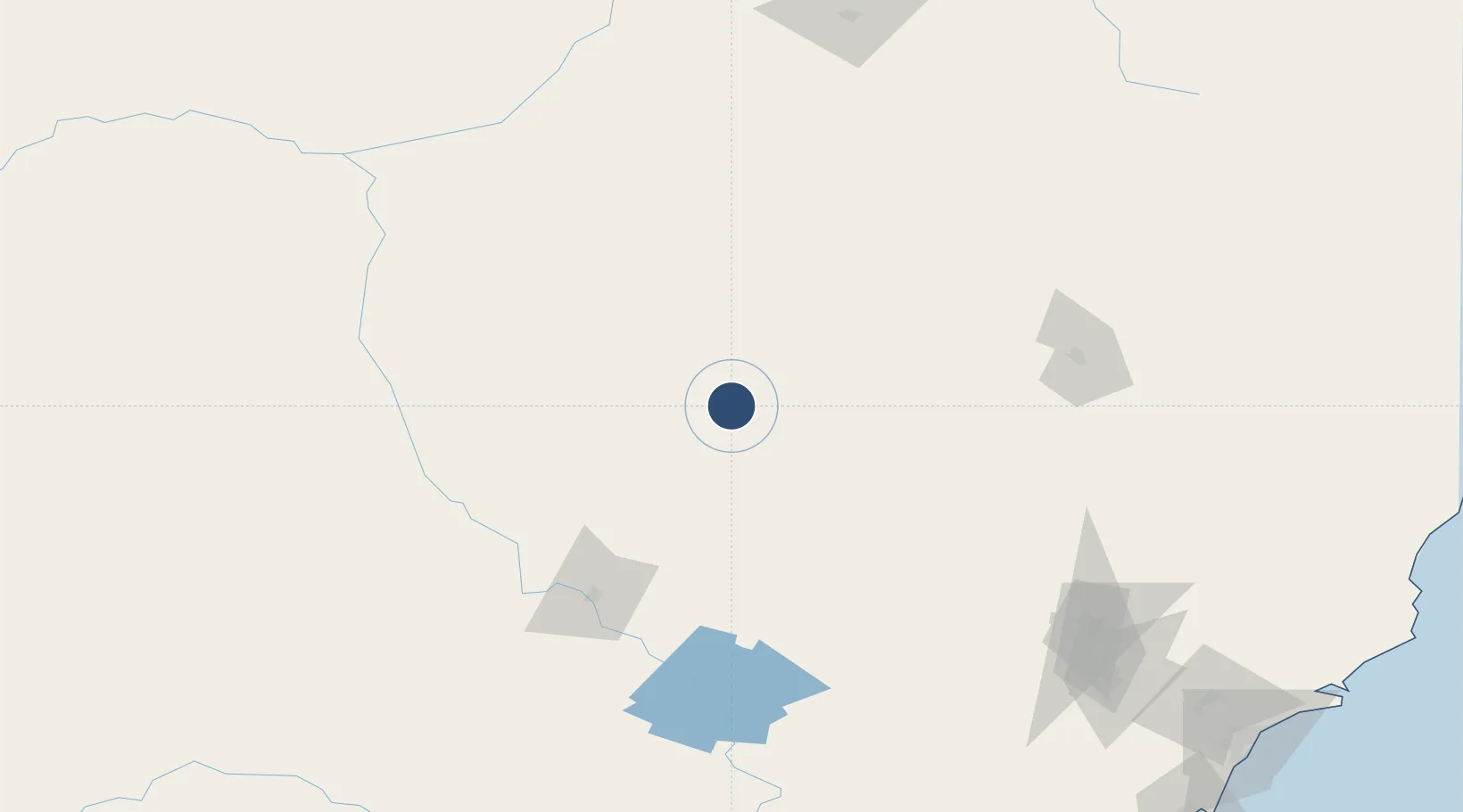
-31.3325°, 149.2670°
4,987 ft
Longest runway
2
Runways
2,117 ft
Elevation

Runway & Layout

Coonabarabran Airport runway & taxiway layout
Runway & taxiway layout — OpenStreetMap (ODbL) / OurAirports

Radio Frequencies

CTAF
126.7 MHz
FSS
127.1 MHz
BRISBANE CNTR
OurAirports

Navaids

CBB NDB Coonabarabran 200 kHz
OurAirports

Runways · 2

RunwayDimensions SurfaceTrue headingLit
11/29 4,987 × 98ft Asphalt 123°
01/19 2,129 × 98ft Grass 029°
OurAirports

Airport Specifications

IATA code
COJ
OurAirports
ICAO code
YCBB
OurAirports
Airport class
Medium airport
OurAirports
Scheduled service
No
OurAirports
Runway surface
Asphalt
OurAirports

Location

Location of YCBB
Natural Earth 10m (public domain) · New South Wales · YCBB · -31.33, 149.27GoogleOSMYandex

Nearby Logistics Neighbours

Airports
  1. 1Coonamble Airport93 km
  2. 2Gunnedah Airport102 km
  3. 3Dubbo City Regional Airport118 km
  4. 4Narrabri Airport125 km
  5. 5Narromine Airport139 km
Nearest neighbours — logibook spatial index (haversine) over the source coordinates
Cities
  1. 1Dunedoo77 km
  2. 2Werris Creek131 km
  3. 3Narromine140 km
  4. 4Burren Junction140 km
  5. 5Baerami165 km
Nearest neighbours — logibook spatial index (haversine) over the source coordinates
Ports
  1. 1Newcastle295 km
  2. 2Sydney335 km
  3. 3Botany Bay349 km
  4. 4Port Kembla383 km
  5. 5Jervis Bay444 km
Nearest neighbours — logibook spatial index (haversine) over the source coordinates
Trade Zones
  1. 1Latrobe Valley Economic Growth Zone811 km
  2. 2Paga Hill Estate Special Economic Zone2439 km
  3. 3Vanuatu Economic Development Zone2529 km
  4. 4Ihu Special Economic Zone2637 km
  5. 5Tulagi Island Special Economic Zone2716 km
Nearest neighbours — logibook spatial index (haversine) over the source coordinates
DatabookThe Record of Consolidated Knowledge
Australia beyond logistics?
Browse databook

All Sources

AirportsOurAirports
Public domain
Portsthe NGA World Port Index
Public domain (US gov)
LocationsUN/LOCODE
UN/LOCODE — free
Trade Zonesthe World Bank SEZ database
CC BY 4.0
Trade ZonesOpen Zone Map
CC BY
InfrastructureOpenStreetMap
ODbL 1.0
← Australia airports