Transport Functions
Rail
Road
Hub Profile
Place type
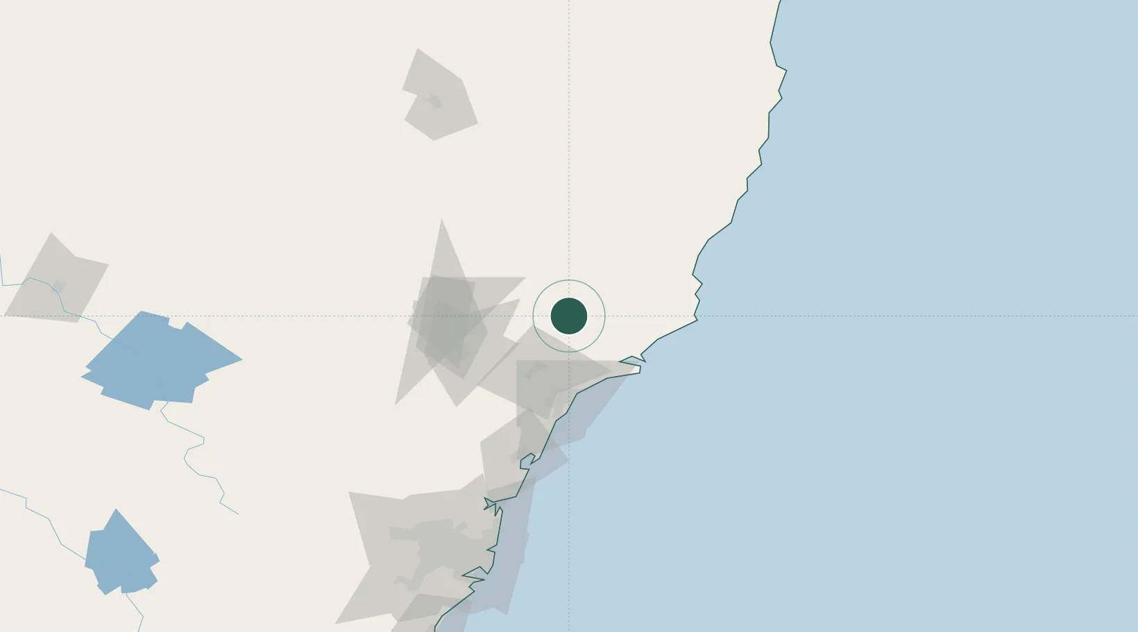
Populated place
Region
New South Wales
Population
1,978
Time zone
Australia/Sydney
Elevation
63 m
Location
Nearby Logistics Neighbours
Cities
- 1Heatherbrae41 km
- 2Beresfield44 km
- 3Tea Gardens47 km
- 4Carrington48 km
- 5Gloucester49 km
Ports
- 1Newcastle56 km
- 2Sydney169 km
- 3Botany Bay183 km
- 4Port Kembla243 km
- 5Jervis Bay313 km
Airports
- 1Newcastle Airport43 km
- 2Taree Airport93 km
- 3Palm Beach Seaplane Base136 km
- 4Port Macquarie Airport151 km
- 5RAAF Base Richmond160 km
Trade Zones
DatabookThe Record of Consolidated Knowledge
Australia beyond logistics?