Medium airport · Australia

Gunnedah AirportYGDH
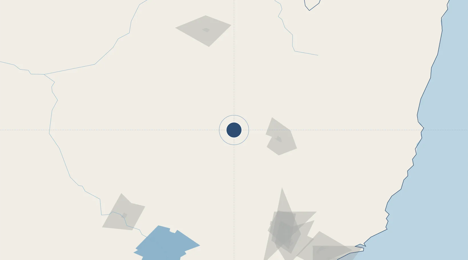
-30.9575°, 150.2490°
5,400 ft
Longest runway
2
Runways
863 ft
Elevation

Runway & Layout

Gunnedah Airport runway & taxiway layout
Runway & taxiway layout — OpenStreetMap (ODbL) / OurAirports

Radio Frequencies

CTAF
127.4 MHz
FSS
127.1 MHz
BRISBANE CNTR
OurAirports

Navaids

GDH NDB Gunnedah 407 kHz
OurAirports

Runways · 2

RunwayDimensions SurfaceTrue headingLit
11/29 5,400 × 98ft Asphalt 123°
17/35 1,942 × 98ft Grass 183°
OurAirports

Airport Specifications

IATA code
GUH
OurAirports
ICAO code
YGDH
OurAirports
Airport class
Medium airport
OurAirports
Scheduled service
No
OurAirports
Runway surface
Asphalt
OurAirports

Location

Location of YGDH
Natural Earth 10m (public domain) · New South Wales · YGDH · -30.96, 150.25GoogleOSMYandex

Nearby Logistics Neighbours

Airports
  1. 1Tamworth Airport58 km
  2. 2Narrabri Airport82 km
  3. 3Coonabarabran Airport102 km
  4. 4Armidale Airport139 km
  5. 5Inverell Airport147 km
Nearest neighbours — logibook spatial index (haversine) over the source coordinates
Cities
  1. 1Werris Creek58 km
  2. 2Sylvania Waters81 km
  3. 3Dunedoo143 km
  4. 4Burren Junction156 km
  5. 5Baerami162 km
Nearest neighbours — logibook spatial index (haversine) over the source coordinates
Ports
  1. 1Newcastle262 km
  2. 2Sydney336 km
  3. 3Botany Bay351 km
  4. 4Ballina395 km
  5. 5Port Kembla397 km
Nearest neighbours — logibook spatial index (haversine) over the source coordinates
Trade Zones
  1. 1Latrobe Valley Economic Growth Zone883 km
  2. 2Paga Hill Estate Special Economic Zone2409 km
  3. 3Vanuatu Economic Development Zone2431 km
  4. 4Ihu Special Economic Zone2614 km
  5. 5Tulagi Island Special Economic Zone2637 km
Nearest neighbours — logibook spatial index (haversine) over the source coordinates
DatabookThe Record of Consolidated Knowledge
Australia beyond logistics?
Browse databook

All Sources

AirportsOurAirports
Public domain
Portsthe NGA World Port Index
Public domain (US gov)
LocationsUN/LOCODE
UN/LOCODE — free
Trade Zonesthe World Bank SEZ database
CC BY 4.0
Trade ZonesOpen Zone Map
CC BY
InfrastructureOpenStreetMap
ODbL 1.0
← Australia airports