Transport Functions
Multimodal
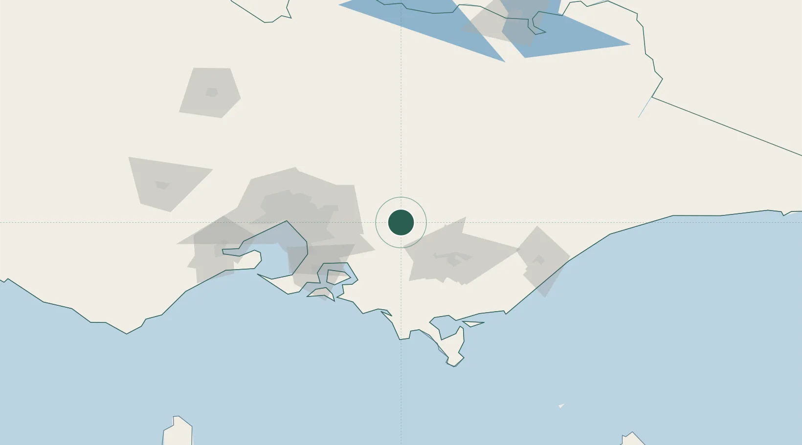
Hub Profile
Place type
Urban district
Region
Victoria
Population
7,563
Time zone
Australia/Melbourne
Elevation
59 m
Location
Nearby Logistics Neighbours
Cities
- 1Ashwood6 km
- 2Drouin29 km
- 3Yarra Junction30 km
- 4Hoddles Creek31 km
- 5Warragul32 km
Ports
- 1Western Port80 km
- 2Melbourne85 km
- 3Welshpool102 km
- 4Geelong140 km
- 5Warrnambool307 km
Airports
- 1Latrobe Valley Airport60 km
- 2Melbourne Moorabbin Airport74 km
- 3Melbourne Essendon Airport92 km
- 4West Sale Airport93 km
- 5Melbourne Airport99 km
Trade Zones
DatabookThe Record of Consolidated Knowledge
Australia beyond logistics?