Medium airport · Australia

Melbourne Essendon AirportYMEN
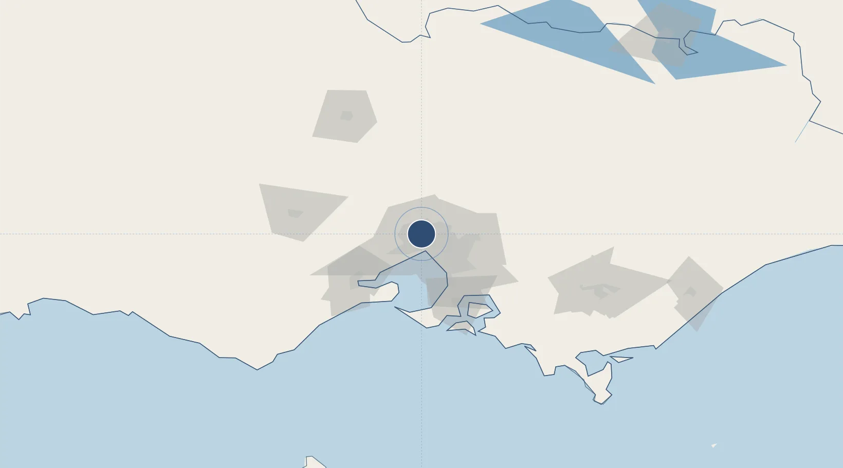
-37.7281°, 144.9020°
6,302 ft
Longest runway
2
Runways
282 ft
Elevation

Runway & Layout

Melbourne Essendon Airport runway & taxiway layout
Runway & taxiway layout — OpenStreetMap (ODbL) / OurAirports

Radio Frequencies

ATIS
119.8 MHz
TWR
125.1 MHz
GND
121.9 MHz
APP
132 MHz
DEP
118.9 MHz
OurAirports

Navaids

EN NDB Essendon 356 kHz
PLE NDB Plenty 218 kHz
OurAirports

Runways · 2

RunwayDimensions SurfaceTrue headingLit
08/26 6,302 × 148ft Asphalt 088°
17/35 4,311 × 148ft Asphalt 177°
OurAirports

Airport Specifications

IATA code
MEB
OurAirports
ICAO code
YMEN
OurAirports
Airport class
Medium airport
OurAirports
Scheduled service
Yes
OurAirports
Runway surface
Asphalt
OurAirports
Served city
Essendon Fields
OurAirports

Location

Location of YMEN
Natural Earth 10m (public domain) · Victoria · YMEN · -37.73, 144.90GoogleOSMYandex

Nearby Logistics Neighbours

Airports
  1. 1Melbourne Airport9 km
  2. 2Melbourne Moorabbin Airport33 km
  3. 3Melbourne Avalon International Airport52 km
  4. 4Bendigo Airport121 km
  5. 5Latrobe Valley Airport148 km
Nearest neighbours — logibook spatial index (haversine) over the source coordinates
Cities
  1. 1Pascoe Vale3 km
  2. 2Keilor Park5 km
  3. 3Melbourne6 km
  4. 4Brunswich6 km
  5. 5Keilor6 km
Nearest neighbours — logibook spatial index (haversine) over the source coordinates
Ports
  1. 1Melbourne13 km
  2. 2Geelong66 km
  3. 3Western Port75 km
  4. 4Welshpool174 km
  5. 5Warrnambool225 km
Nearest neighbours — logibook spatial index (haversine) over the source coordinates
Trade Zones
  1. 1Latrobe Valley Economic Growth Zone142 km
  2. 2Paga Hill Estate Special Economic Zone3149 km
  3. 3Vanuatu Economic Development Zone3299 km
  4. 4Ihu Special Economic Zone3318 km
  5. 5Morobe Agricultural Special Economic Zone3457 km
Nearest neighbours — logibook spatial index (haversine) over the source coordinates
DatabookThe Record of Consolidated Knowledge
Australia beyond logistics?
Browse databook

All Sources

AirportsOurAirports
Public domain
Portsthe NGA World Port Index
Public domain (US gov)
LocationsUN/LOCODE
UN/LOCODE — free
Trade Zonesthe World Bank SEZ database
CC BY 4.0
Trade ZonesOpen Zone Map
CC BY
InfrastructureOpenStreetMap
ODbL 1.0
← Australia airports