Transport Functions
Multimodal
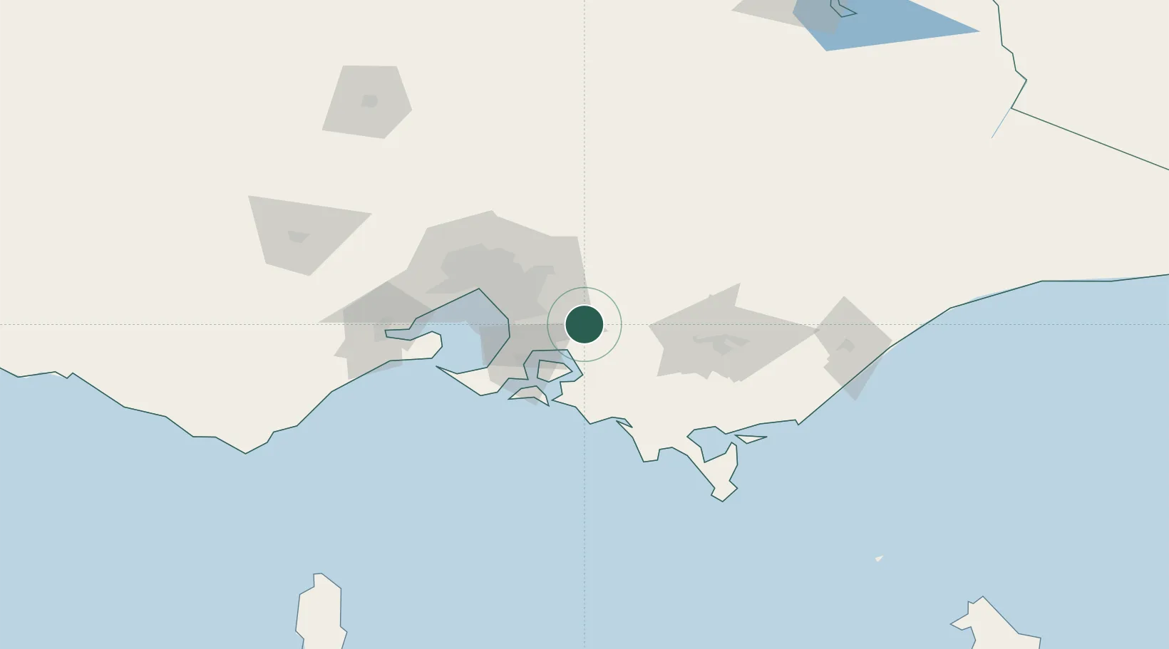
Hub Profile
Place type
Urban district
Region
Victoria
Population
995
Time zone
Australia/Melbourne
Elevation
37 m
Location
Nearby Logistics Neighbours
Cities
- 1Gembrook15 km
- 2Beaconsfield Upper16 km
- 3Tooradin22 km
- 4Selby25 km
- 5Drouin25 km
Ports
- 1Western Port42 km
- 2Melbourne60 km
- 3Welshpool104 km
- 4Geelong105 km
- 5Warrnambool272 km
Airports
Trade Zones
DatabookThe Record of Consolidated Knowledge
Australia beyond logistics?