Transport Functions
Rail
Road
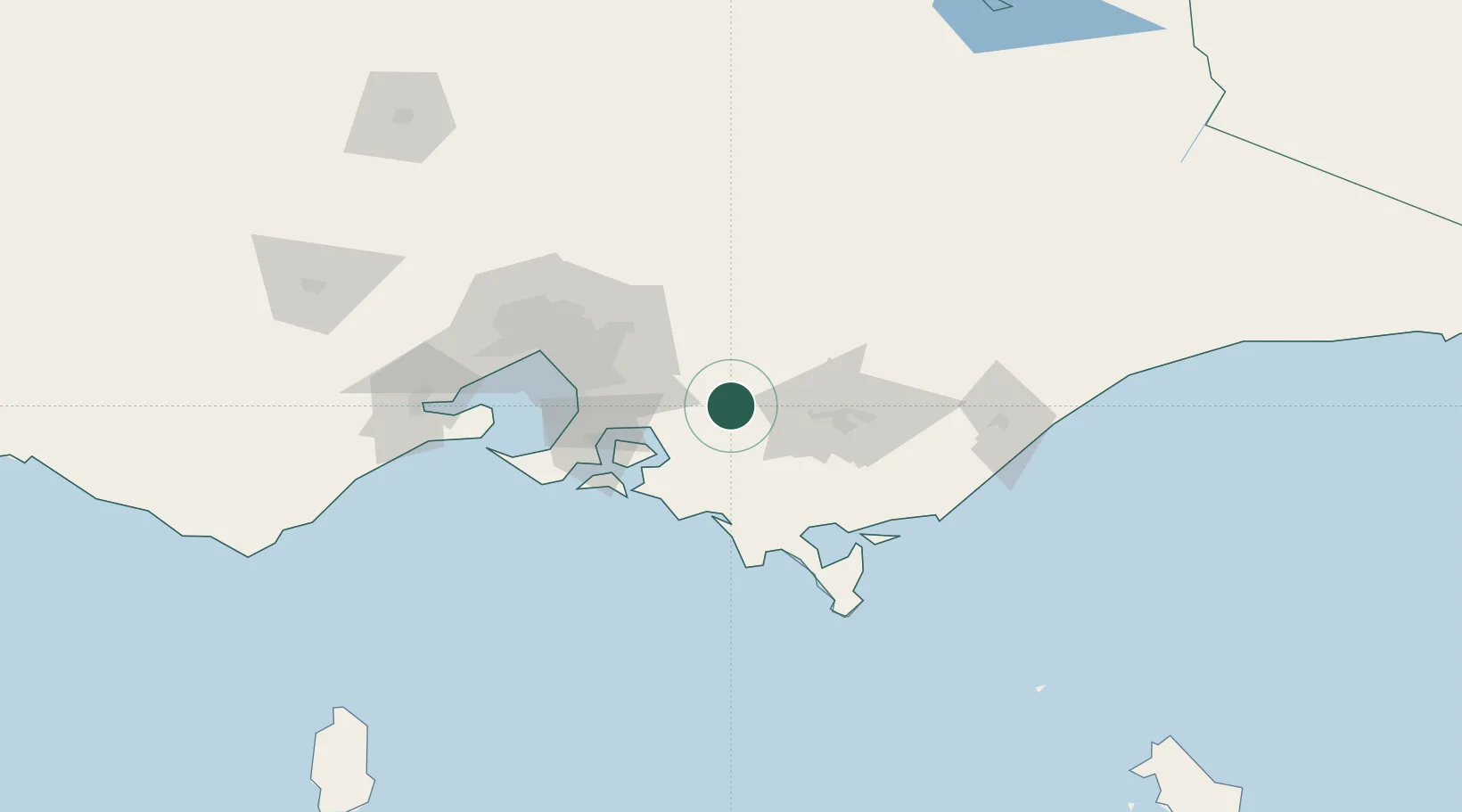
Hub Profile
Place type
Populated place
Region
Victoria
Population
11,887
Time zone
Australia/Melbourne
Elevation
143 m
Location
Nearby Logistics Neighbours
Cities
- 1Warragul8 km
- 2Nar Nar Goon25 km
- 3Hughesdale29 km
- 4Ashwood32 km
- 5Gembrook33 km
Ports
- 1Western Port59 km
- 2Welshpool83 km
- 3Melbourne84 km
- 4Geelong130 km
- 5Warrnambool295 km
Airports
- 1Latrobe Valley Airport55 km
- 2Melbourne Moorabbin Airport68 km
- 3Melbourne Essendon Airport95 km
- 4West Sale Airport98 km
- 5Melbourne Airport103 km
Trade Zones
DatabookThe Record of Consolidated Knowledge
Australia beyond logistics?