Transport Functions
Multimodal
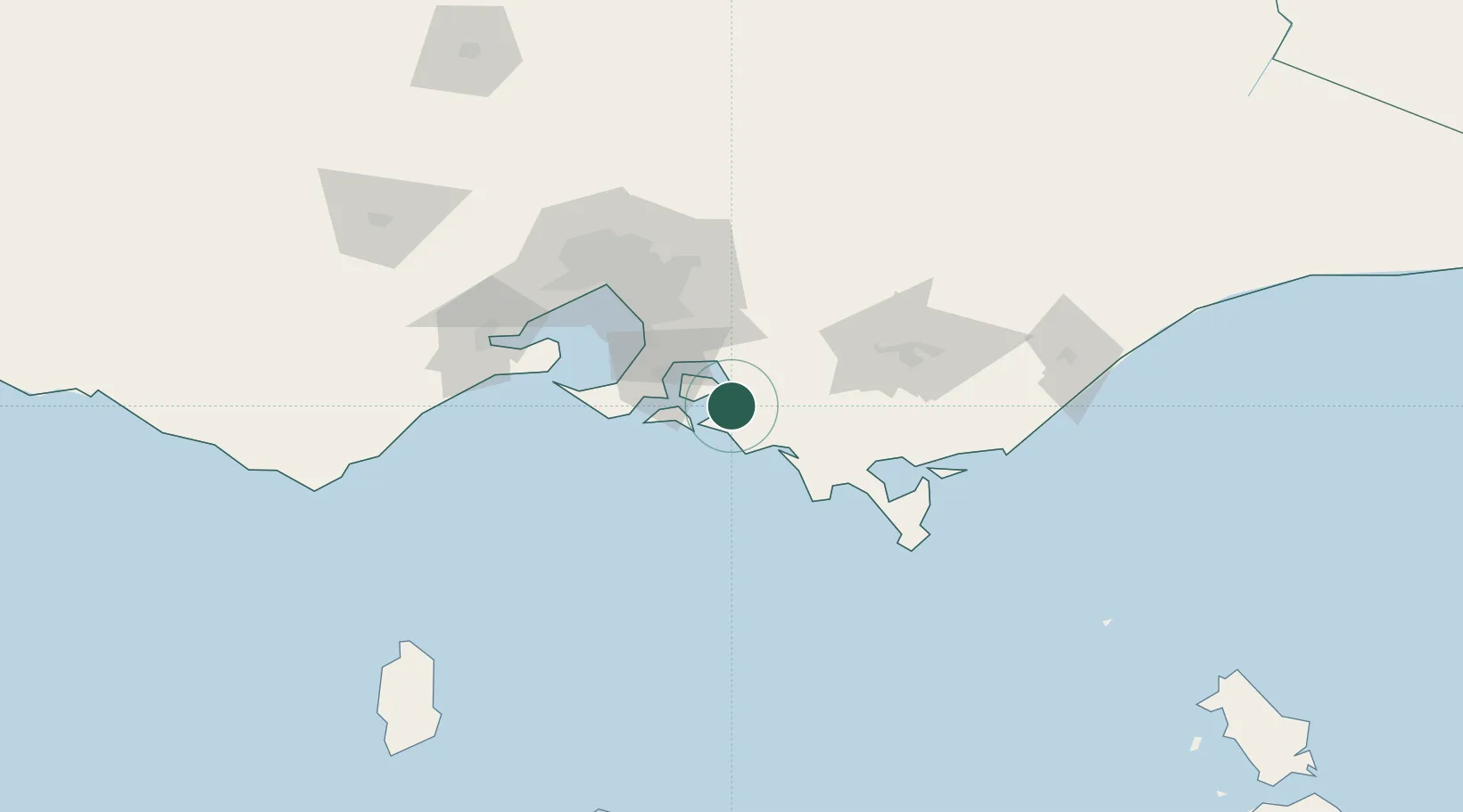
Hub Profile
Place type
Populated place
Region
Victoria
Population
102
Time zone
Australia/Melbourne
Elevation
30 m
Location
Nearby Logistics Neighbours
Cities
- 1The Gurdies9 km
- 2Kongwak16 km
- 3Tankerton23 km
- 4Phillip Island26 km
- 5Hampton28 km
Ports
- 1Western Port28 km
- 2Melbourne85 km
- 3Welshpool86 km
- 4Geelong107 km
- 5Stanley259 km
Airports
Trade Zones
DatabookThe Record of Consolidated Knowledge
Australia beyond logistics?