UN/LOCODE hub · Australia
AUGUR

The Gurdies

-38.3667°, 145.5500°
184
Population
2
Transport functions

Transport Functions

Port
Multimodal
UN/LOCODE

Hub Profile

Place type
Locality
GeoNames
Region
Victoria
GeoNames
Population
184
GeoNames
Time zone
Australia/Melbourne
GeoNames
Elevation
72 m
GeoNames

Location

Location of AUGUR
Natural Earth 10m (public domain) · Victoria · AUGUR · -38.37, 145.55GoogleOSMYandex

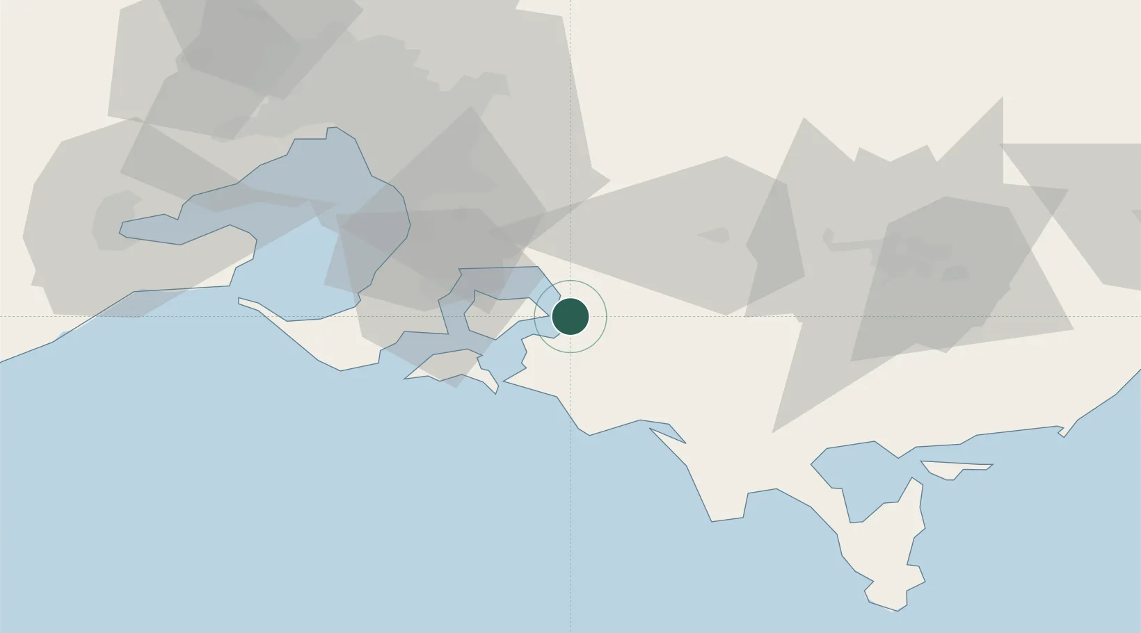
Nearby Logistics Neighbours

Cities
  1. 1Glen Forbes9 km
  2. 2Kongwak21 km
  3. 3Tooradin22 km
  4. 4Tankerton23 km
  5. 5Hampton26 km
Nearest neighbours — logibook spatial index (haversine) over the source coordinates
Ports
  1. 1Western Port28 km
  2. 2Melbourne78 km
  3. 3Welshpool88 km
  4. 4Geelong106 km
  5. 5Warrnambool267 km
Nearest neighbours — logibook spatial index (haversine) over the source coordinates
Airports
  1. 1Melbourne Moorabbin Airport59 km
  2. 2Latrobe Valley Airport82 km
  3. 3Melbourne Essendon Airport91 km
  4. 4Melbourne Airport99 km
  5. 5Melbourne Avalon International Airport101 km
Nearest neighbours — logibook spatial index (haversine) over the source coordinates
Trade Zones
  1. 1Latrobe Valley Economic Growth Zone75 km
  2. 2Paga Hill Estate Special Economic Zone3216 km
  3. 3Vanuatu Economic Development Zone3307 km
  4. 4Ihu Special Economic Zone3388 km
  5. 5Morobe Agricultural Special Economic Zone3527 km
Nearest neighbours — logibook spatial index (haversine) over the source coordinates
DatabookThe Record of Consolidated Knowledge
Australia beyond logistics?
Browse databook

All Sources

LocationsUN/LOCODE
UN/LOCODE — free
LocationsGeoNames
CC BY 4.0
Portsthe NGA World Port Index
Public domain (US gov)
AirportsOurAirports
Public domain
Trade Zonesthe World Bank SEZ database
CC BY 4.0
Trade ZonesOpen Zone Map
CC BY
← Australia locations