UN/LOCODE hub · Australia
AUTAK

Tankerton

-38.3833°, 145.2833°
1
Transport functions

Transport Functions

Multimodal
UN/LOCODE

Hub Profile

Place type
Populated place
GeoNames
Region
Victoria
GeoNames
Time zone
Australia/Melbourne
GeoNames
Elevation
26 m
GeoNames

Location

Location of AUTAK
Natural Earth 10m (public domain) · Victoria · AUTAK · -38.38, 145.28GoogleOSMYandex

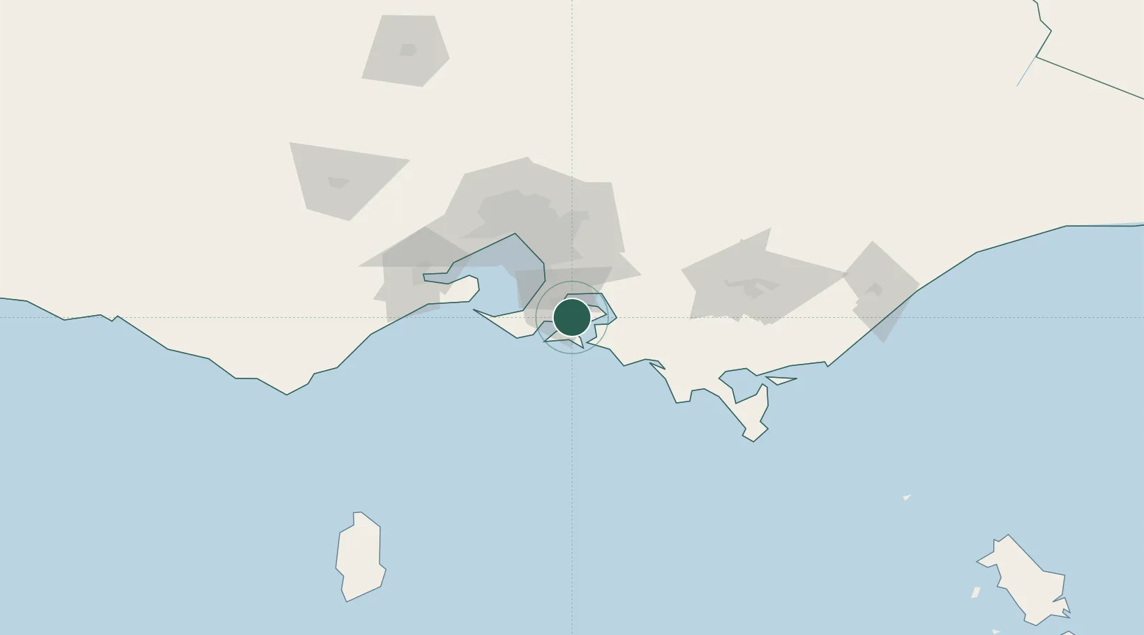
Nearby Logistics Neighbours

Cities
  1. 1Hampton6 km
  2. 2Hastings10 km
  3. 3Phillip Island12 km
  4. 4Balnarring13 km
  5. 5Tooradin21 km
Nearest neighbours — logibook spatial index (haversine) over the source coordinates
Ports
  1. 1Western Port6 km
  2. 2Melbourne67 km
  3. 3Geelong84 km
  4. 4Welshpool109 km
  5. 5Warrnambool244 km
Nearest neighbours — logibook spatial index (haversine) over the source coordinates
Airports
  1. 1Melbourne Moorabbin Airport48 km
  2. 2Melbourne Essendon Airport80 km
  3. 3Melbourne Avalon International Airport81 km
  4. 4Melbourne Airport88 km
  5. 5Latrobe Valley Airport105 km
Nearest neighbours — logibook spatial index (haversine) over the source coordinates
Trade Zones
  1. 1Latrobe Valley Economic Growth Zone98 km
  2. 2Paga Hill Estate Special Economic Zone3219 km
  3. 3Vanuatu Economic Development Zone3325 km
  4. 4Ihu Special Economic Zone3390 km
  5. 5Morobe Agricultural Special Economic Zone3529 km
Nearest neighbours — logibook spatial index (haversine) over the source coordinates
DatabookThe Record of Consolidated Knowledge
Australia beyond logistics?
Browse databook

All Sources

LocationsUN/LOCODE
UN/LOCODE — free
Portsthe NGA World Port Index
Public domain (US gov)
AirportsOurAirports
Public domain
Trade Zonesthe World Bank SEZ database
CC BY 4.0
Trade ZonesOpen Zone Map
CC BY
← Australia locations