Large airport · Australia

Melbourne Avalon International AirportYMAV
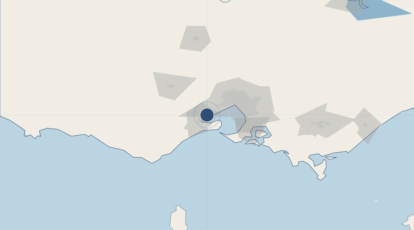
-38.0403°, 144.4672°
10,000 ft
Longest runway
1
Runways
35 ft
Elevation

Runway & Layout

Melbourne Avalon International Airport runway & taxiway layout
Runway & taxiway layout — OpenStreetMap (ODbL) / OurAirports

Radio Frequencies

ATIS
116.1 MHz
TWR
120.1 MHz
CTAF
120.1 MHz
FSS
135.7 MHz
MELBOURNE RADAR
UNIC
129.3 MHz
FLIGHT OPS
OurAirports

Navaids

AV VOR-DME Avalon 116.10 MHz
AV NDB Avalon 404 kHz
RPY NDB Ripley (Decommissioned) 224 kHz
OurAirports

Runways · 1

RunwayDimensions SurfaceTrue headingLit
18/36 10,000 × 148ft Asphalt 187°
OurAirports

Airport Specifications

IATA code
AVV
OurAirports
ICAO code
YMAV
OurAirports
Airport class
Large airport
OurAirports
Scheduled service
Yes
OurAirports
Runway surface
Asphalt
OurAirports
Served city
Geelong/Melbourne
OurAirports

Location

Location of YMAV
Natural Earth 10m (public domain) · Victoria · YMAV · -38.04, 144.47GoogleOSMYandex

Nearby Logistics Neighbours

Airports
  1. 1Melbourne Essendon Airport52 km
  2. 2Melbourne Airport52 km
  3. 3Melbourne Moorabbin Airport56 km
  4. 4Bendigo Airport145 km
  5. 5Ararat Airport153 km
Nearest neighbours — logibook spatial index (haversine) over the source coordinates
Cities
  1. 1Little River9 km
  2. 2Corio Bay9 km
  3. 3Point Henry Pier/Melbourne9 km
  4. 4North Geelong15 km
  5. 5Geelong West15 km
Nearest neighbours — logibook spatial index (haversine) over the source coordinates
Ports
  1. 1Geelong15 km
  2. 2Melbourne50 km
  3. 3Western Port75 km
  4. 4Warrnambool178 km
  5. 5Welshpool189 km
Nearest neighbours — logibook spatial index (haversine) over the source coordinates
Trade Zones
  1. 1Latrobe Valley Economic Growth Zone170 km
  2. 2Paga Hill Estate Special Economic Zone3187 km
  3. 3Vanuatu Economic Development Zone3351 km
  4. 4Ihu Special Economic Zone3353 km
  5. 5Western Province Special Economic Zone3489 km
Nearest neighbours — logibook spatial index (haversine) over the source coordinates
DatabookThe Record of Consolidated Knowledge
Australia beyond logistics?
Browse databook

All Sources

AirportsOurAirports
Public domain
Portsthe NGA World Port Index
Public domain (US gov)
LocationsUN/LOCODE
UN/LOCODE — free
Trade Zonesthe World Bank SEZ database
CC BY 4.0
Trade ZonesOpen Zone Map
CC BY
InfrastructureOpenStreetMap
ODbL 1.0
← Australia airports