UN/LOCODE hub · Australia
AUPIS
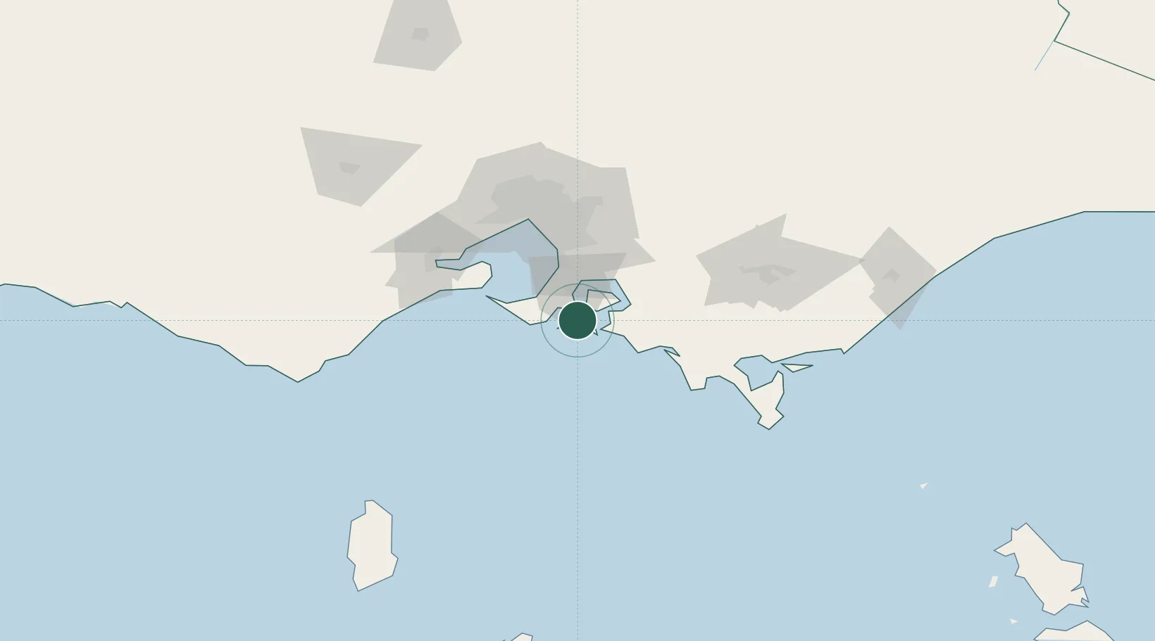
Phillip Island
-38.4833°, 145.2333°
7,071
Population
3
Transport functions
Transport Functions
Port
Road
Airport
Hub Profile
Place type
Populated place
Region
Victoria
Population
7,071
Time zone
Australia/Melbourne
Elevation
48 m
Location
Nearby Logistics Neighbours
Cities
- 1Tankerton12 km
- 2Balnarring16 km
- 3Hampton17 km
- 4Shoreham18 km
- 5Hastings20 km
Ports
- 1Western Port15 km
- 2Melbourne76 km
- 3Geelong84 km
- 4Welshpool110 km
- 5Warrnambool240 km
Airports
Trade Zones
DatabookThe Record of Consolidated Knowledge
Australia beyond logistics?