UN/LOCODE hub · Australia
AUVHR
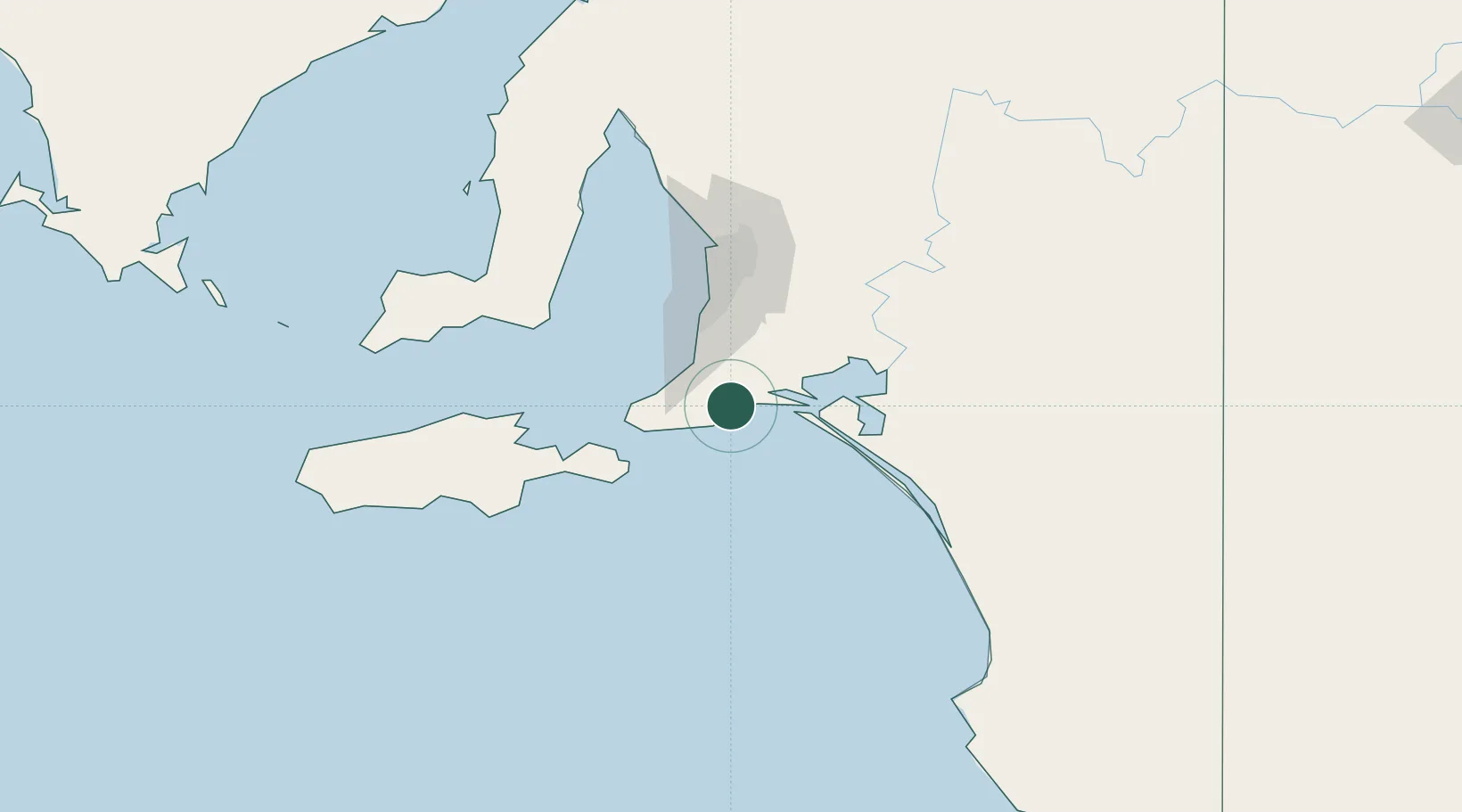
Victor Harbor
-35.5500°, 138.6167°
4,520
Population
2
Transport functions
Transport Functions
Rail
Road
Hub Profile
Place type
Populated place
Region
South Australia
Population
4,520
Time zone
Australia/Adelaide
Elevation
8 m
Location
Nearby Logistics Neighbours
Cities
- 1Goolwa16 km
- 2Willunga30 km
- 3Port Willunga35 km
- 4Belvidere40 km
- 5Meadows43 km
Ports
- 1Port Adelaide79 km
- 2Kingscote89 km
- 3Port Giles96 km
- 4Klein Point101 km
- 5Ardrossan140 km
Airports
- 1Adelaide International Airport67 km
- 2RAAF Base Edinburgh94 km
- 3Kingscote Airport101 km
- 4Renmark Airport241 km
- 5Port Pirie Airport263 km
DatabookThe Record of Consolidated Knowledge
Australia beyond logistics?