Transport Functions
Multimodal
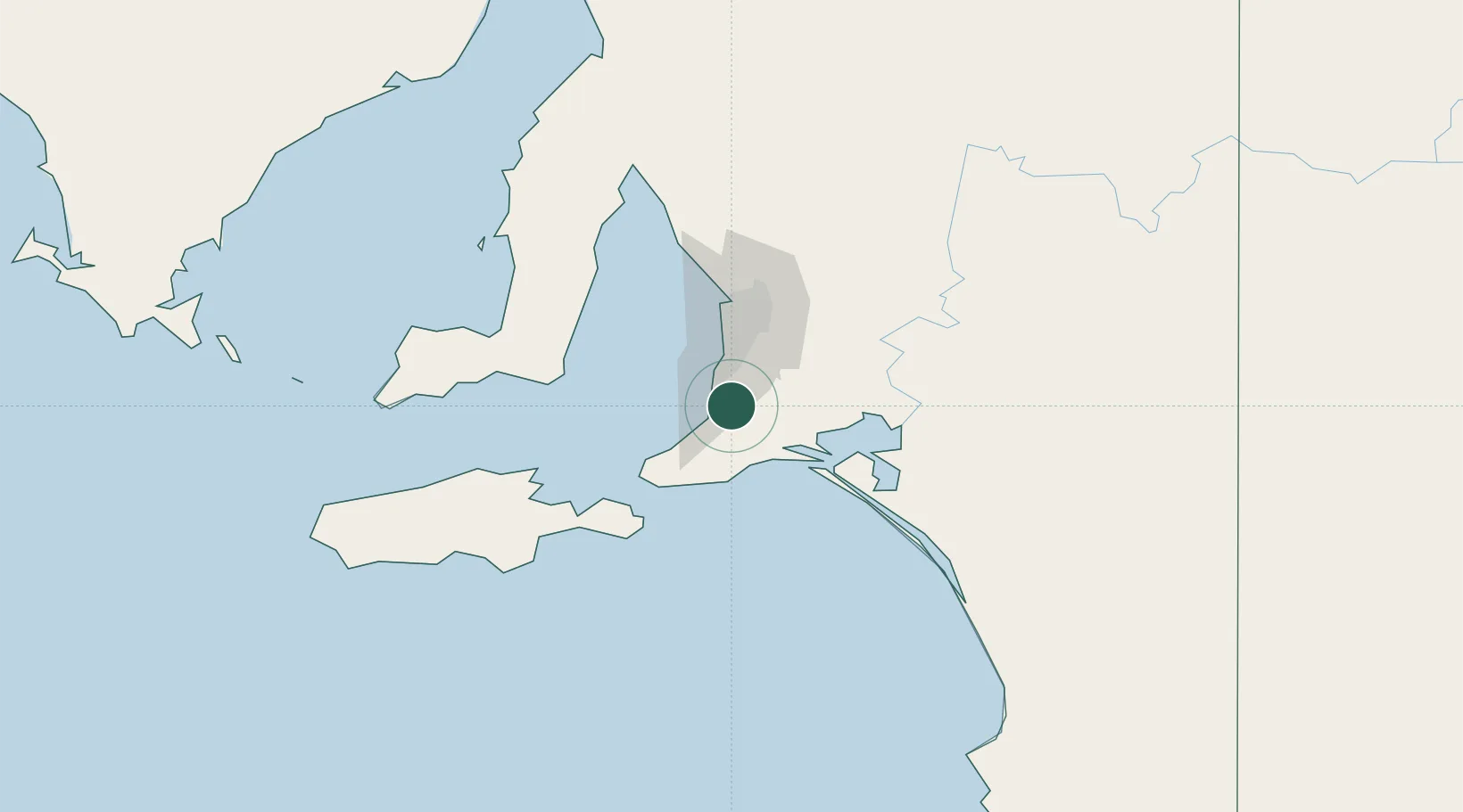
Hub Profile
Place type
Populated place
Region
South Australia
Population
2,269
Time zone
Australia/Adelaide
Elevation
120 m
Location
Nearby Logistics Neighbours
Cities
- 1Port Willunga9 km
- 2Kangarilla17 km
- 3Clarendon20 km
- 4Lonsdale21 km
- 5Meadows21 km
Ports
- 1Port Adelaide48 km
- 2Port Giles76 km
- 3Klein Point80 km
- 4Kingscote92 km
- 5Ardrossan111 km
Airports
- 1Adelaide International Airport37 km
- 2RAAF Base Edinburgh65 km
- 3Kingscote Airport105 km
- 4Renmark Airport229 km
- 5Port Pirie Airport233 km
DatabookThe Record of Consolidated Knowledge
Australia beyond logistics?