Medium airport · Australia
RAAF Base EdinburghYPED
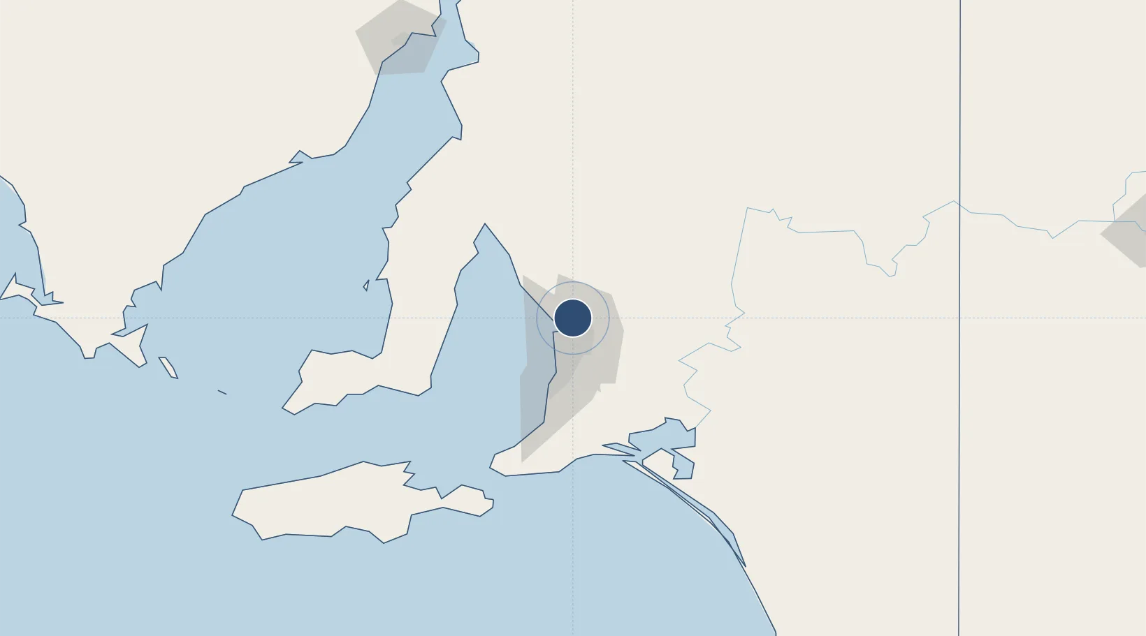
-34.7057°, 138.6156°
8,399 ft
Longest runway
2
Runways
67 ft
Elevation
Runway & Layout

Radio Frequencies
ATIS
31.63 MHz
TWR
118.3 MHz
GND
134.1 MHz
APP
128.6 MHz
ADELAIDE APP
CTAF
118.3 MHz
FSS
128.6 MHz
FLIGHTWATCH
Navaids
EDN TACAN Edinburgh 114.70 MHz
EDN NDB Edinburgh 311 kHz
Runways · 2
| Runway | Dimensions | Surface | True heading | Lit |
|---|---|---|---|---|
| 18/36 | 8,399 × 150ft | Asphalt | 189° | ✓ |
| 04/22 | 6,437 × 150ft | Grass | 048° | ✓ |
Airport Specifications
ICAO code
YPED
Airport class
Medium airport
Scheduled service
No
Runway surface
Asphalt
Served city
Adelaide
Location
Nearby Logistics Neighbours
Airports
- 1Adelaide International Airport28 km
- 2Kingscote Airport150 km
- 3Port Pirie Airport173 km
- 4Renmark Airport197 km
- 5Whyalla Airport210 km
Cities
- 1Elizabeth3 km
- 2Virginia7 km
- 3Green Fields9 km
- 4Parafield9 km
- 5Adelaide11 km
Ports
- 1Port Adelaide19 km
- 2Ardrossan71 km
- 3Klein Point83 km
- 4Port Giles86 km
- 5Wallaroo126 km
DatabookThe Record of Consolidated Knowledge
Australia beyond logistics?