UN/LOCODE hub · Australia
AUBVD

Belvidere

-35.3000°, 138.9333°
115
Population
2
Transport functions

Transport Functions

Port
Multimodal
UN/LOCODE

Hub Profile

Place type
Populated place
GeoNames
Region
South Australia
GeoNames
Population
115
GeoNames
Time zone
Australia/Adelaide
GeoNames
Elevation
37 m
GeoNames

Location

Location of AUBVD
Natural Earth 10m (public domain) · South Australia · AUBVD · -35.30, 138.93GoogleOSMYandex

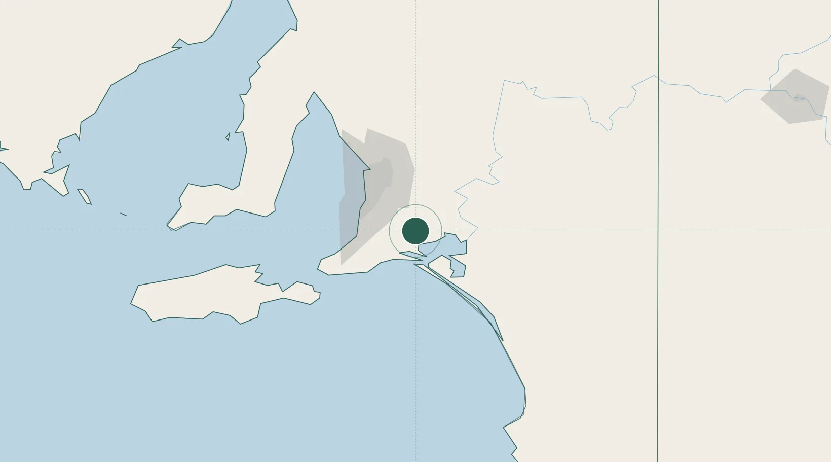
Nearby Logistics Neighbours

Cities
  1. 1Meadows21 km
  2. 2Goolwa26 km
  3. 3Kensington Gardens30 km
  4. 4Kangarilla31 km
  5. 5Hahndorf32 km
Nearest neighbours — logibook spatial index (haversine) over the source coordinates
Ports
  1. 1Port Adelaide64 km
  2. 2Port Giles110 km
  3. 3Klein Point112 km
  4. 4Kingscote123 km
  5. 5Ardrossan134 km
Nearest neighbours — logibook spatial index (haversine) over the source coordinates
Airports
  1. 1Adelaide International Airport54 km
  2. 2RAAF Base Edinburgh72 km
  3. 3Kingscote Airport136 km
  4. 4Renmark Airport201 km
  5. 5Port Pirie Airport245 km
Nearest neighbours — logibook spatial index (haversine) over the source coordinates
DatabookThe Record of Consolidated Knowledge
Australia beyond logistics?
Browse databook

All Sources

LocationsUN/LOCODE
UN/LOCODE — free
LocationsGeoNames
CC BY 4.0
Portsthe NGA World Port Index
Public domain (US gov)
AirportsOurAirports
Public domain
Trade Zonesthe World Bank SEZ database
CC BY 4.0
Trade ZonesOpen Zone Map
CC BY
← Australia locations