Large airport · Australia
Adelaide International AirportYPAD
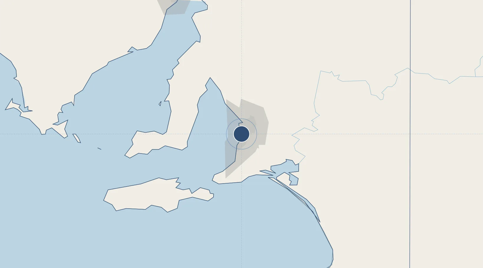
-34.9475°, 138.5334°
10,171 ft
Longest runway
2
Runways
20 ft
Elevation
Runway & Layout

Radio Frequencies
ATIS
116.4 MHz
ATIS
134.5 MHz
TWR
120.5 MHz
GND
121.7 MHz
CLD
126.1 MHz
CLNC DEL
APP/DEP
118.2 MHz
Approach (East)
APP/DEP
124.2 MHz
Approach (West)
Navaids
AD VOR-DME Adelaide 116.40 MHz
AD NDB Adelaide (DECOMMISSIONED) 362 kHz
MBY NDB Modbury (DECOMISSIONED) 377 kHz
Runways · 2
| Runway | Dimensions | Surface | True heading | Lit |
|---|---|---|---|---|
| 05/23 | 10,171 × 148ft | Asphalt | 050° | ✓ |
| 12/30 | 5,420 × 148ft | Asphalt | 123° | ✓ |
Airport Specifications
IATA code
ADL
ICAO code
YPAD
Airport class
Large airport
Scheduled service
Yes
Runway surface
Asphalt
Served city
Adelaide
Location
Nearby Logistics Neighbours
Airports
- 1RAAF Base Edinburgh28 km
- 2Kingscote Airport125 km
- 3Port Pirie Airport196 km
- 4Renmark Airport213 km
- 5Whyalla Airport230 km
Cities
- 1Edwardstown4 km
- 2Cowandilla4 km
- 3Westbourne Park5 km
- 4Findon5 km
- 5Welland5 km
Ports
- 1Port Adelaide11 km
- 2Klein Point70 km
- 3Port Giles71 km
- 4Ardrossan80 km
- 5Kingscote112 km
DatabookThe Record of Consolidated Knowledge
Australia beyond logistics?