UN/LOCODE hub · Australia
AUGOA

Goolwa

-35.5000°, 138.7833°
2,225
Population
3
Transport functions

Transport Functions

Port
Road
Airport
UN/LOCODE

Hub Profile

Place type
Populated place
GeoNames
Region
South Australia
GeoNames
Population
2,225
GeoNames
Time zone
Australia/Adelaide
GeoNames
Elevation
4 m
GeoNames

Location

Location of AUGOA
Natural Earth 10m (public domain) · South Australia · AUGOA · -35.50, 138.78GoogleOSMYandex

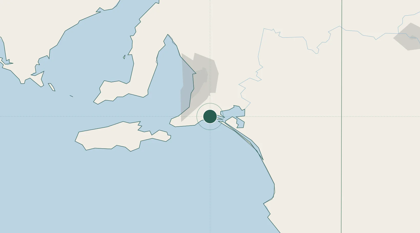
Nearby Logistics Neighbours

Cities
  1. 1Victor Harbor16 km
  2. 2Belvidere26 km
  3. 3Kensington Gardens29 km
  4. 4Willunga32 km
  5. 5Meadows35 km
Nearest neighbours — logibook spatial index (haversine) over the source coordinates
Ports
  1. 1Port Adelaide77 km
  2. 2Kingscote105 km
  3. 3Port Giles106 km
  4. 4Klein Point110 km
  5. 5Ardrossan143 km
Nearest neighbours — logibook spatial index (haversine) over the source coordinates
Airports
  1. 1Adelaide International Airport66 km
  2. 2RAAF Base Edinburgh90 km
  3. 3Kingscote Airport117 km
  4. 4Renmark Airport225 km
  5. 5Port Pirie Airport262 km
Nearest neighbours — logibook spatial index (haversine) over the source coordinates
DatabookThe Record of Consolidated Knowledge
Australia beyond logistics?
Browse databook

All Sources

LocationsUN/LOCODE
UN/LOCODE — free
LocationsGeoNames
CC BY 4.0
Portsthe NGA World Port Index
Public domain (US gov)
AirportsOurAirports
Public domain
Trade Zonesthe World Bank SEZ database
CC BY 4.0
Trade ZonesOpen Zone Map
CC BY
← Australia locations