Medium airport · Australia
Renmark AirportYREN
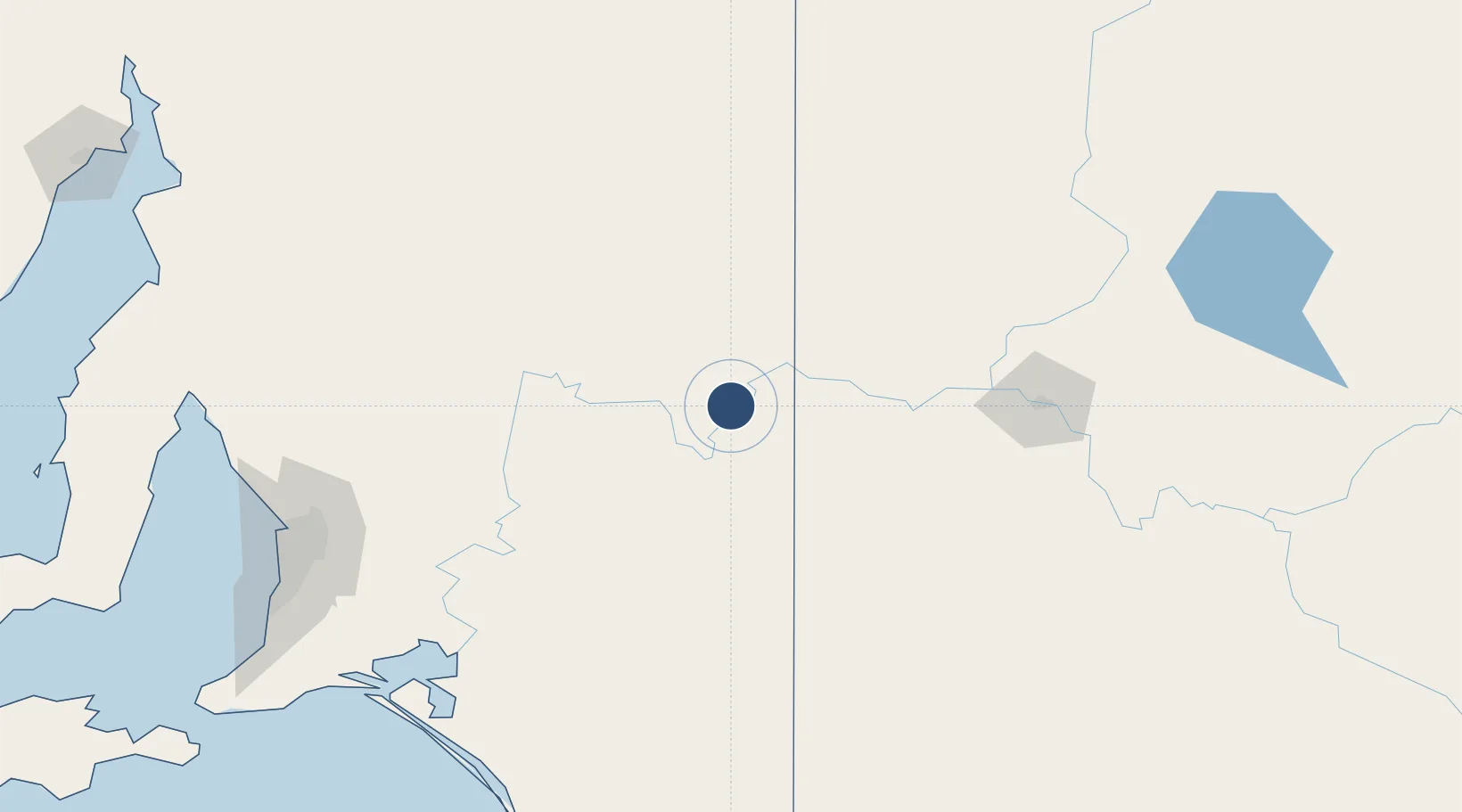
-34.1964°, 140.6740°
5,709 ft
Longest runway
3
Runways
115 ft
Elevation
Runway & Layout

Radio Frequencies
CTAF
126.7 MHz
FSS
124.3 MHz
MELBOURNE CNTR
Navaids
REN NDB Renmark 200 kHz
Runways · 3
| Runway | Dimensions | Surface | True heading | Lit |
|---|---|---|---|---|
| 07/25 | 5,709 × 98ft | Asphalt | 074° | ✓ |
| 18/36 | 3,360 × 98ft | Gravel | 185° | — |
| 12/30 | — | Unknown | — | — |
Airport Specifications
IATA code
RMK
ICAO code
YREN
Airport class
Medium airport
Scheduled service
No
Runway surface
Asphalt
Location
Nearby Logistics Neighbours
Airports
- 1Mildura Airport130 km
- 2RAAF Base Edinburgh197 km
- 3Adelaide International Airport213 km
- 4Hopetoun Airport228 km
- 5Broken Hill Airport255 km
Cities
- 1Moorook31 km
- 2Mindarie81 km
- 3Irymple137 km
- 4Keyneton147 km
- 5Eden Valley153 km
Ports
- 1Port Adelaide212 km
- 2Ardrossan255 km
- 3Port Pirie270 km
- 4Klein Point280 km
- 5Port Giles282 km
Trade Zones
DatabookThe Record of Consolidated Knowledge
Australia beyond logistics?