Medium airport · Australia
Port Pirie AirportYPIR
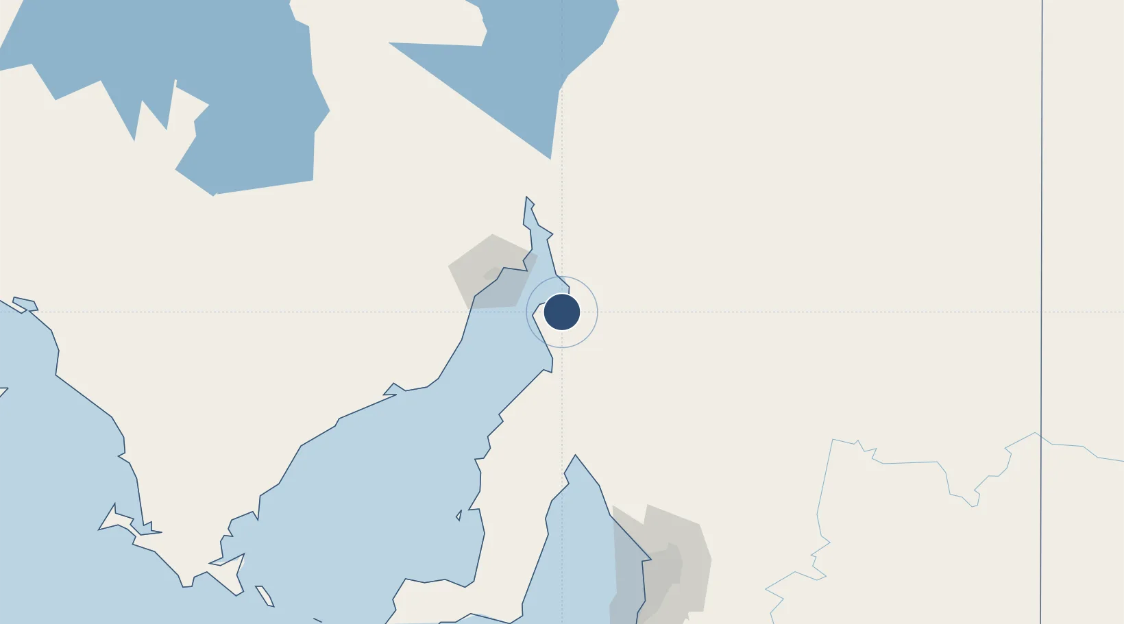
-33.2389°, 137.9950°
3,507 ft
Longest runway
3
Runways
40 ft
Elevation
Runway & Layout

Radio Frequencies
CTAF
126.7 MHz
FSS
123.9 MHz
MELBOURNE CNTR
Runways · 3
| Runway | Dimensions | Surface | True heading | Lit |
|---|---|---|---|---|
| 17/35 | 3,507 × 98ft | Graded earth | 180° | ✓ |
| 08/26 | 3,422 × 98ft | Asphalt | 090° | ✓ |
| 03/21 | 2,205 × 98ft | Grass | 041° | ✓ |
Airport Specifications
IATA code
PPI
ICAO code
YPIR
Airport class
Medium airport
Scheduled service
No
Runway surface
Graded earth
Location
Nearby Logistics Neighbours
Airports
- 1Whyalla Airport49 km
- 2Port Augusta Airport85 km
- 3Cleve Airport148 km
- 4RAAF Base Edinburgh173 km
- 5Adelaide International Airport196 km
Ports
- 1Port Pirie7 km
- 2Port Bonython33 km
- 3Whyalla45 km
- 4Wallaroo85 km
- 5Ardrossan133 km
DatabookThe Record of Consolidated Knowledge
Australia beyond logistics?