Transport Functions
Multimodal
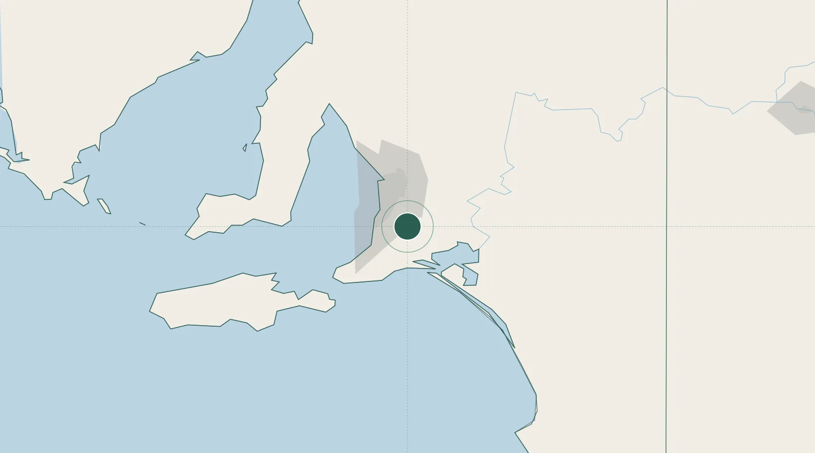
Hub Profile
Place type
Populated place
Region
South Australia
Population
1,342
Time zone
Australia/Adelaide
Elevation
353 m
Location
Nearby Logistics Neighbours
Cities
- 1Kangarilla10 km
- 2Clarendon13 km
- 3Hahndorf17 km
- 4Chandlers Hill18 km
- 5Aldgate19 km
Ports
- 1Port Adelaide44 km
- 2Port Giles91 km
- 3Klein Point93 km
- 4Ardrossan113 km
- 5Kingscote113 km
Airports
- 1Adelaide International Airport33 km
- 2RAAF Base Edinburgh55 km
- 3Kingscote Airport126 km
- 4Renmark Airport207 km
- 5Port Pirie Airport227 km
DatabookThe Record of Consolidated Knowledge
Australia beyond logistics?