UN/LOCODE hub · Australia
AUPTW
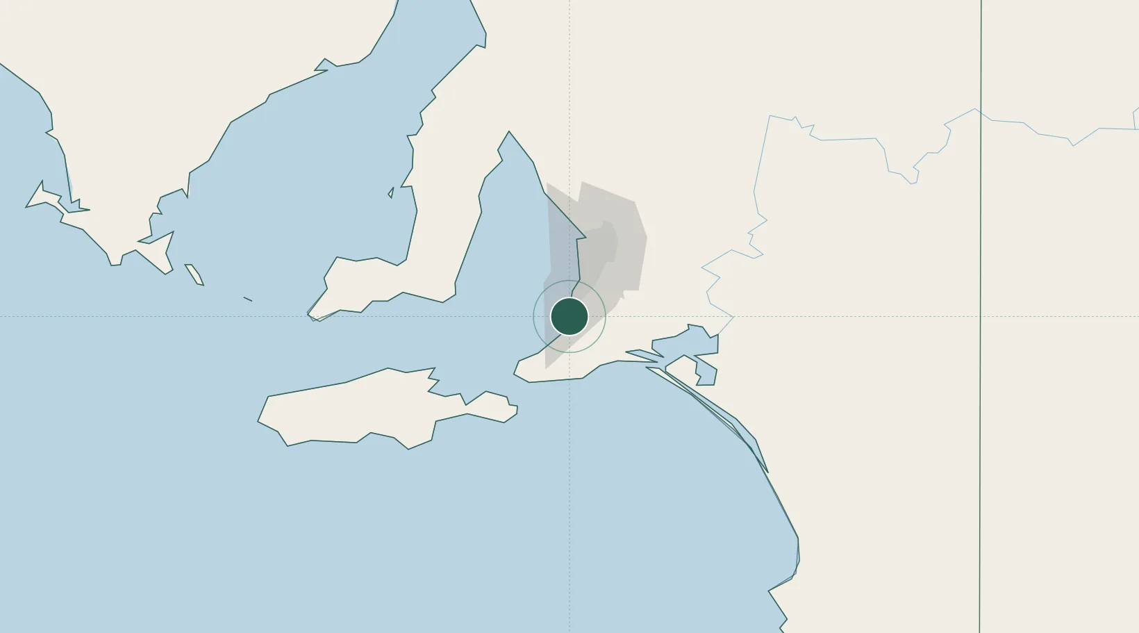
Port Willunga
-35.2667°, 138.4500°
1,629
Population
2
Transport functions
Transport Functions
Port
Multimodal
Hub Profile
Place type
Urban district
Region
South Australia
Population
1,629
Time zone
Australia/Adelaide
Elevation
29 m
Location
Nearby Logistics Neighbours
Cities
- 1Willunga9 km
- 2Lonsdale19 km
- 3Happy Valley22 km
- 4Oaklands Park22 km
- 5Kangarilla22 km
Ports
- 1Port Adelaide47 km
- 2Port Giles67 km
- 3Klein Point71 km
- 4Kingscote85 km
- 5Ardrossan105 km
Airports
- 1Adelaide International Airport36 km
- 2RAAF Base Edinburgh64 km
- 3Kingscote Airport98 km
- 4Port Pirie Airport229 km
- 5Renmark Airport236 km
DatabookThe Record of Consolidated Knowledge
Australia beyond logistics?