Channel & Berth Profile
Pilotage, Tugs & Services
Tug assistanceYES
Potable waterNO
Diesel bunkersNO
MedicalYES
Garbage disposalYES
Facilities & Capabilities
Container—
Ro-Ro—
Liquid bulk—
Dry bulk—
Oil terminal—
Break bulk—
Dry dock—
Repairs—
BunkeringNO
Rail link—
Dangerous cargo—
ISPS security—
Harbour Specifications
Harbour size
Very Small
Harbour type
Open Roadstead
Shelter
Poor
Water body
Indian Ocean
Tidal range
2 m
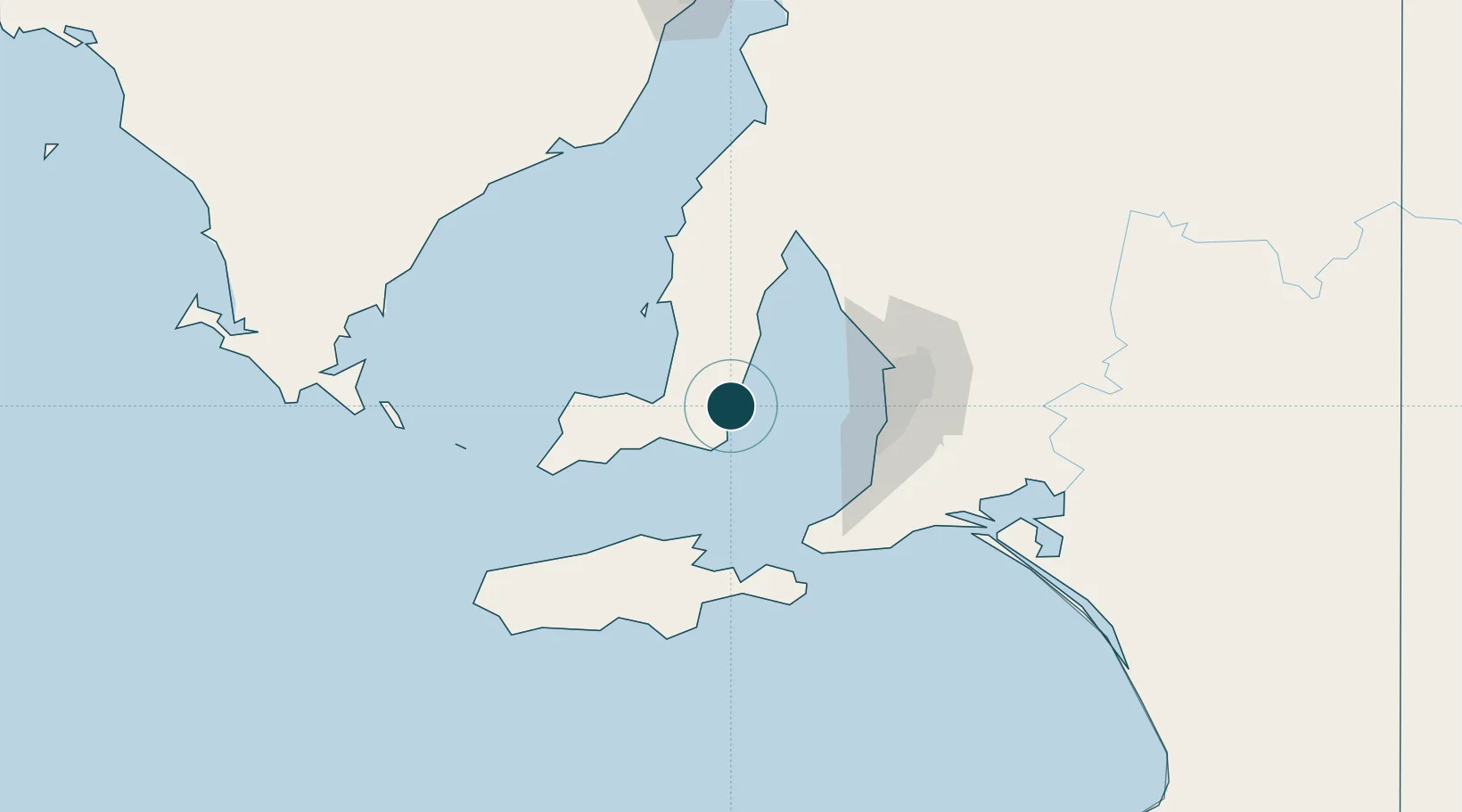
Location
Nearby Logistics Neighbours
Ports
- 1Port Giles7 km
- 2Ardrossan61 km
- 3Port Adelaide68 km
- 4Kingscote75 km
- 5Wallaroo116 km
Cities
- 1Henley Beach66 km
- 2Grange66 km
- 3Lonsdale67 km
- 4Halletts Cove68 km
- 5Birkenhead69 km
Airports
- 1Adelaide International Airport70 km
- 2RAAF Base Edinburgh83 km
- 3Kingscote Airport86 km
- 4Port Lincoln Airport177 km
- 5Cleve Airport182 km
DatabookThe Record of Consolidated Knowledge
Australia beyond logistics?