Channel & Berth Profile
Pilotage, Tugs & Services
Pilotage compulsoryYES
Pilotage availableYES
Tug assistanceYES
Salvage tugsNO
Potable waterYES
Diesel bunkersNO
MedicalYES
Garbage disposalNO
Facilities & Capabilities
Container—
Ro-Ro—
Liquid bulk—
Dry bulk—
Oil terminal—
Break bulk—
Dry dock—
Repairs—
BunkeringNO
Rail link—
Dangerous cargo—
ISPS security—
Harbour Specifications
Harbour size
Very Small
Harbour type
Open Roadstead
Shelter
Good
Water body
Indian Ocean
Tidal range
3 m
Overhead limit
Yes
Pilotage
Yes
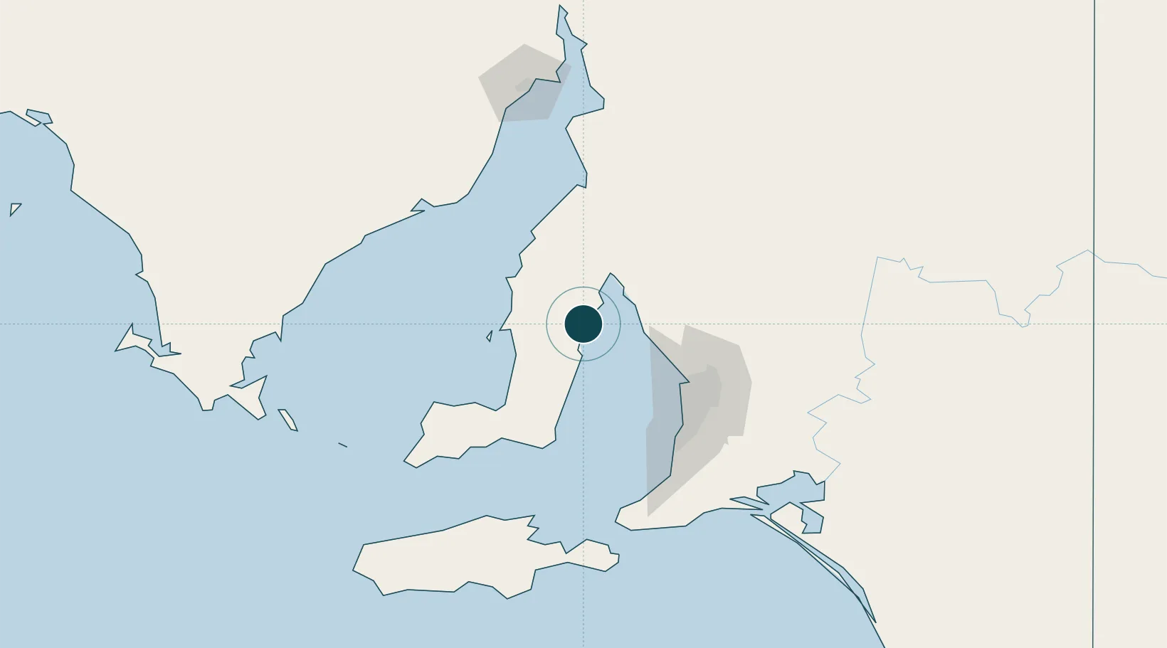
Location
Nearby Logistics Neighbours
Ports
- 1Klein Point61 km
- 2Wallaroo62 km
- 3Port Giles68 km
- 4Port Adelaide71 km
- 5Kingscote136 km
Cities
- 1Twowells57 km
- 2Virginia64 km
- 3Outer Harbour65 km
- 4Outer Harbor65 km
- 5Birkenhead70 km
Airports
- 1RAAF Base Edinburgh71 km
- 2Adelaide International Airport80 km
- 3Port Pirie Airport133 km
- 4Kingscote Airport147 km
- 5Cleve Airport153 km
DatabookThe Record of Consolidated Knowledge
Australia beyond logistics?