Medium airport · Australia
Kingscote AirportYKSC
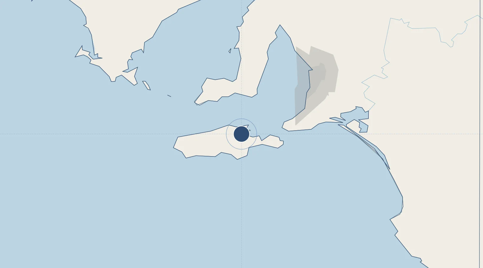
-35.7139°, 137.5210°
4,600 ft
Longest runway
3
Runways
24 ft
Elevation
Runway & Layout

Radio Frequencies
CTAF
126 MHz
FSS
123.05 MHz
MELBOURNE CNTR
Navaids
KSC NDB Kingscote 215 kHz
Runways · 3
| Runway | Dimensions | Surface | True heading | Lit |
|---|---|---|---|---|
| 01/19 | 4,600 × 98ft | Asphalt | 022° | ✓ |
| 15/33 | 3,819 × 98ft | Gravel | 157° | ✓ |
| 06/24 | 3,720 × 98ft | Gravel | 067° | ✓ |
Airport Specifications
IATA code
KGC
ICAO code
YKSC
Airport class
Medium airport
Scheduled service
Yes
Runway surface
Asphalt
Location
Nearby Logistics Neighbours
Airports
- 1Adelaide International Airport125 km
- 2RAAF Base Edinburgh150 km
- 3Port Lincoln Airport194 km
- 4Cleve Airport241 km
- 5Port Pirie Airport279 km
Cities
- 1Port Willunga98 km
- 2Victor Harbor101 km
- 3Reynella101 km
- 4Willunga105 km
- 5Lonsdale111 km
Ports
- 1Kingscote14 km
- 2Port Giles79 km
- 3Klein Point86 km
- 4Port Adelaide131 km
- 5Ardrossan147 km
DatabookThe Record of Consolidated Knowledge
Australia beyond logistics?