Channel & Berth Profile
Pilotage, Tugs & Services
Pilotage compulsoryNO
Pilotage availableYES
Tug assistanceNO
Salvage tugsNO
Potable waterYES
Diesel bunkersYES
MedicalYES
Garbage disposalYES
Facilities & Capabilities
Container—
Ro-Ro—
Liquid bulk—
Dry bulk—
Oil terminal—
Break bulk—
Dry dock—
RepairsNO
Bunkering—
Rail link—
Dangerous cargo—
ISPS security—
Harbour Specifications
Harbour size
Very Small
Harbour type
Coastal (Breakwater)
Shelter
Fair
Water body
Indian Ocean
Tidal range
1 m
Overhead limit
Yes
Pilotage
No
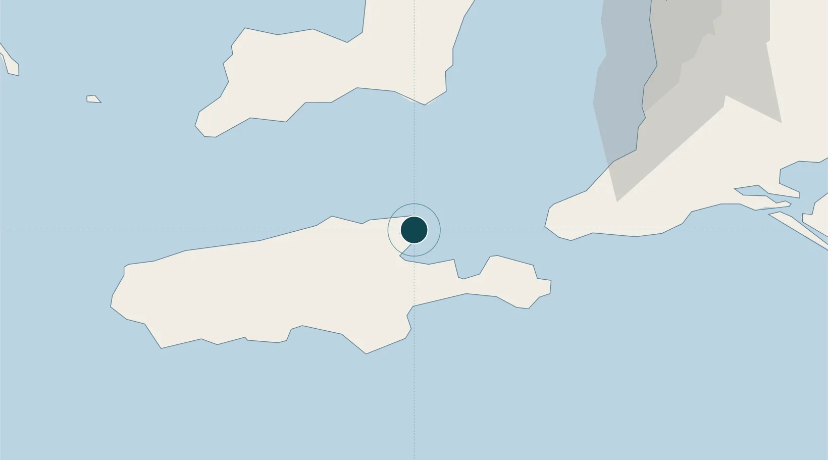
Location
Nearby Logistics Neighbours
Ports
- 1Port Giles68 km
- 2Klein Point75 km
- 3Port Adelaide117 km
- 4Ardrossan136 km
- 5Wallaroo189 km
Cities
- 1Port Willunga85 km
- 2Victor Harbor89 km
- 3Willunga92 km
- 4Reynella96 km
- 5Lonsdale97 km
Airports
- 1Kingscote Airport14 km
- 2Adelaide International Airport112 km
- 3RAAF Base Edinburgh136 km
- 4Port Lincoln Airport196 km
- 5Cleve Airport238 km
DatabookThe Record of Consolidated Knowledge
Australia beyond logistics?