Channel & Berth Profile
Pilotage, Tugs & Services
Pilotage compulsoryYES
Pilotage availableYES
Tug assistanceYES
Salvage tugsNO
Shore powerNO
Potable waterYES
Diesel bunkersNO
MedicalYES
Garbage disposalNO
Facilities & Capabilities
Container—
Ro-Ro—
Liquid bulk—
Dry bulk—
Oil terminal—
Break bulk—
Dry dock—
Repairs—
BunkeringYES
Rail link—
Dangerous cargo—
ISPS security—
Harbour Specifications
Harbour size
Very Small
Harbour type
Open Roadstead
Shelter
Fair
Water body
Indian Ocean
Tidal range
1 m
Overhead limit
Yes
Pilotage
Yes
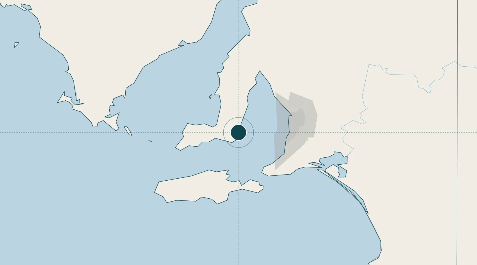
Location
Nearby Logistics Neighbours
Ports
- 1Klein Point7 km
- 2Kingscote68 km
- 3Ardrossan68 km
- 4Port Adelaide70 km
- 5Wallaroo123 km
Cities
- 1Lonsdale66 km
- 2Henley Beach67 km
- 3Halletts Cove67 km
- 4Grange67 km
- 5Port Willunga67 km
Airports
- 1Adelaide International Airport71 km
- 2Kingscote Airport79 km
- 3RAAF Base Edinburgh86 km
- 4Port Lincoln Airport179 km
- 5Cleve Airport187 km
DatabookThe Record of Consolidated Knowledge
Australia beyond logistics?