Transport Functions
Rail
Road
Hub Profile
Place type
Populated place
Region
New South Wales
Population
440
Time zone
Australia/Sydney
Elevation
243 m
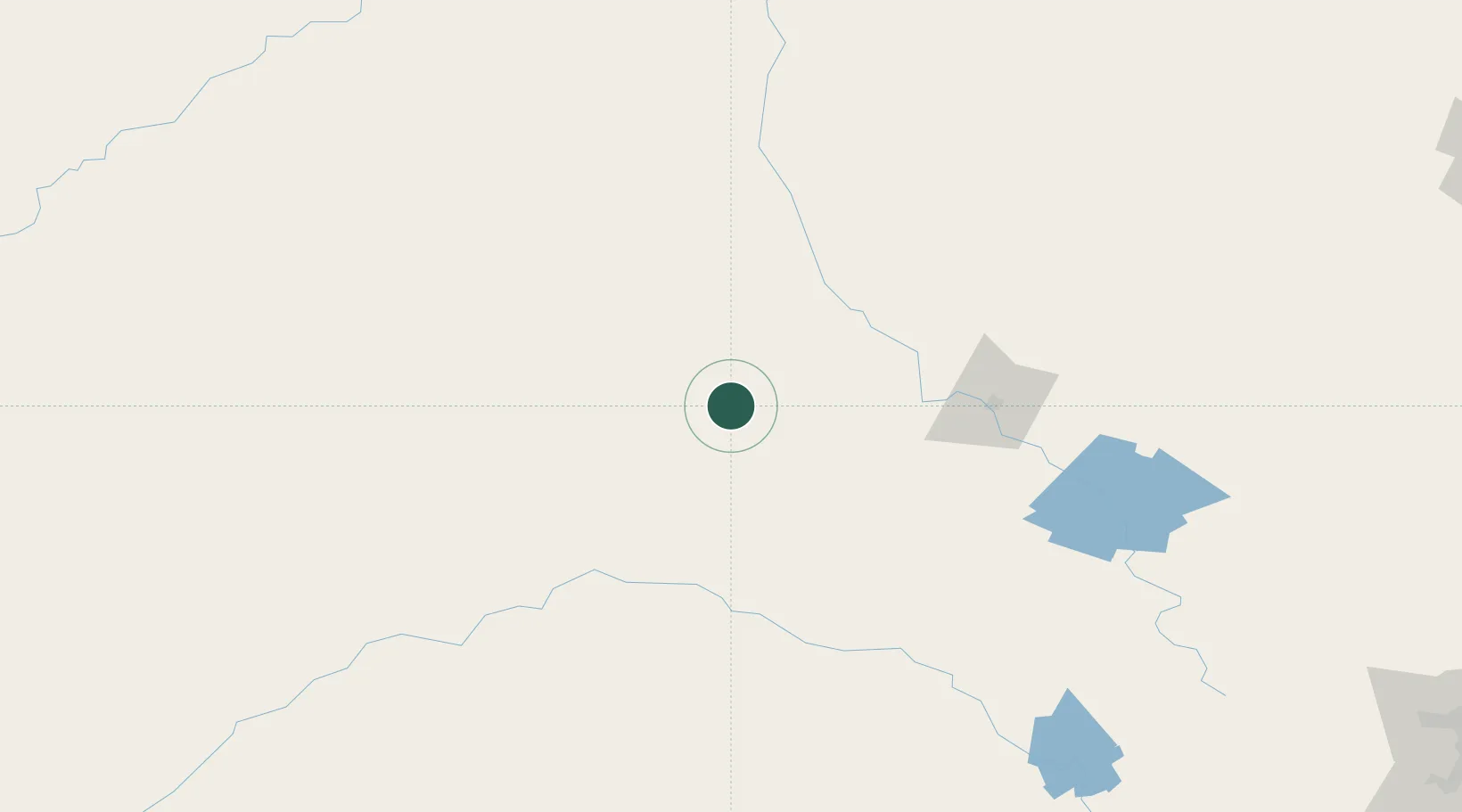
Location
Nearby Logistics Neighbours
Cities
- 1Narromine83 km
- 2Tullibigeal144 km
- 3Lake Cargelligo149 km
- 4Coolabah150 km
- 5Ungarie160 km
Ports
- 1Sydney401 km
- 2Botany Bay411 km
- 3Port Kembla414 km
- 4Newcastle422 km
- 5Jervis Bay451 km
Airports
- 1Warren Airport72 km
- 2Narromine Airport82 km
- 3Dubbo City Regional Airport115 km
- 4Parkes Airport129 km
- 5Forbes Airport135 km
Trade Zones
DatabookThe Record of Consolidated Knowledge
Australia beyond logistics?