UN/LOCODE hub · Australia
AULCG
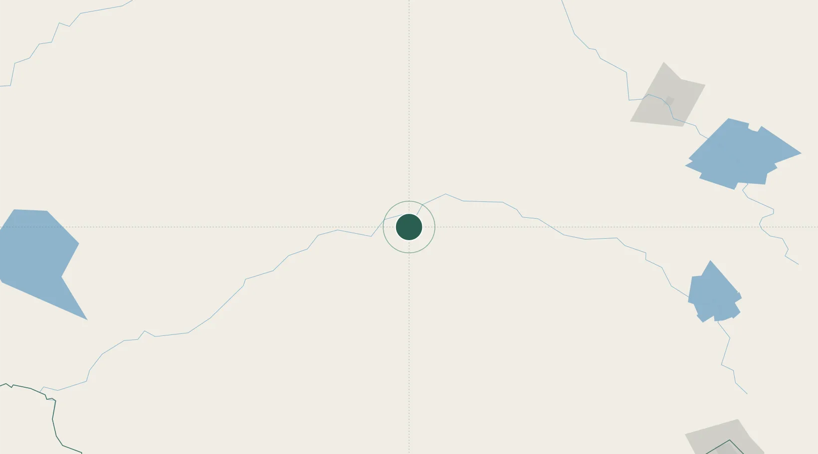
Lake Cargelligo
-33.3167°, 146.3833°
1,445
Population
2
Transport functions
Transport Functions
Rail
Road
Hub Profile
Place type
Populated place
Region
New South Wales
Population
1,445
Time zone
Australia/Sydney
Elevation
168 m
Location
Nearby Logistics Neighbours
Cities
- 1Tullibigeal34 km
- 2Ungarie66 km
- 3Binya102 km
- 4Nericon103 km
- 5Wyalong106 km
Ports
- 1Batemans Bay436 km
- 2Port Kembla438 km
- 3Sydney450 km
- 4Jervis Bay453 km
- 5Botany Bay455 km
Airports
- 1West Wyalong Airport102 km
- 2Griffith Airport108 km
- 3Forbes Airport144 km
- 4Narrandera Airport155 km
- 5Temora Airport161 km
Trade Zones
DatabookThe Record of Consolidated Knowledge
Australia beyond logistics?