Transport Functions
Rail
Road
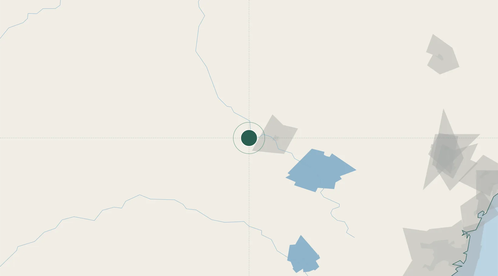
Hub Profile
Place type
Populated place
Region
New South Wales
Population
4,602
Time zone
Australia/Sydney
Elevation
241 m
Location
Nearby Logistics Neighbours
Cities
- 1Tottenham83 km
- 2Dunedoo113 km
- 3Spring Hill156 km
- 4Blayney173 km
- 5Kelso183 km
Ports
- 1Sydney331 km
- 2Newcastle341 km
- 3Botany Bay342 km
- 4Port Kembla353 km
- 5Jervis Bay399 km
Airports
- 1Narromine Airport2 km
- 2Dubbo City Regional Airport32 km
- 3Warren Airport69 km
- 4Parkes Airport100 km
- 5Forbes Airport129 km
Trade Zones
DatabookThe Record of Consolidated Knowledge
Australia beyond logistics?