Medium airport · Australia
Parkes AirportYPKS
-33.1314°, 148.2390°
5,525 ft
Longest runway
2
Runways
1,069 ft
Elevation
Runway & Layout

Radio Frequencies
CTAF
126.7 MHz
AWIS
128.55 MHz
FSS
135.25 MHz
MELBOURNE CNTR
PAL
119.6 MHz
Navaids
PKS VOR-DME Parkes 112.00 MHz
PKS NDB Parkes 242 kHz
Runways · 2
| Runway | Dimensions | Surface | True heading | Lit |
|---|---|---|---|---|
| 04/22 | 5,525 × 148ft | Asphalt | 055° | ✓ |
| 11/29 | 5,322 × 98ft | Asphalt | 124° | — |
Airport Specifications
IATA code
PKE
ICAO code
YPKS
Airport class
Medium airport
Scheduled service
Yes
Runway surface
Asphalt
Served city
Parkes
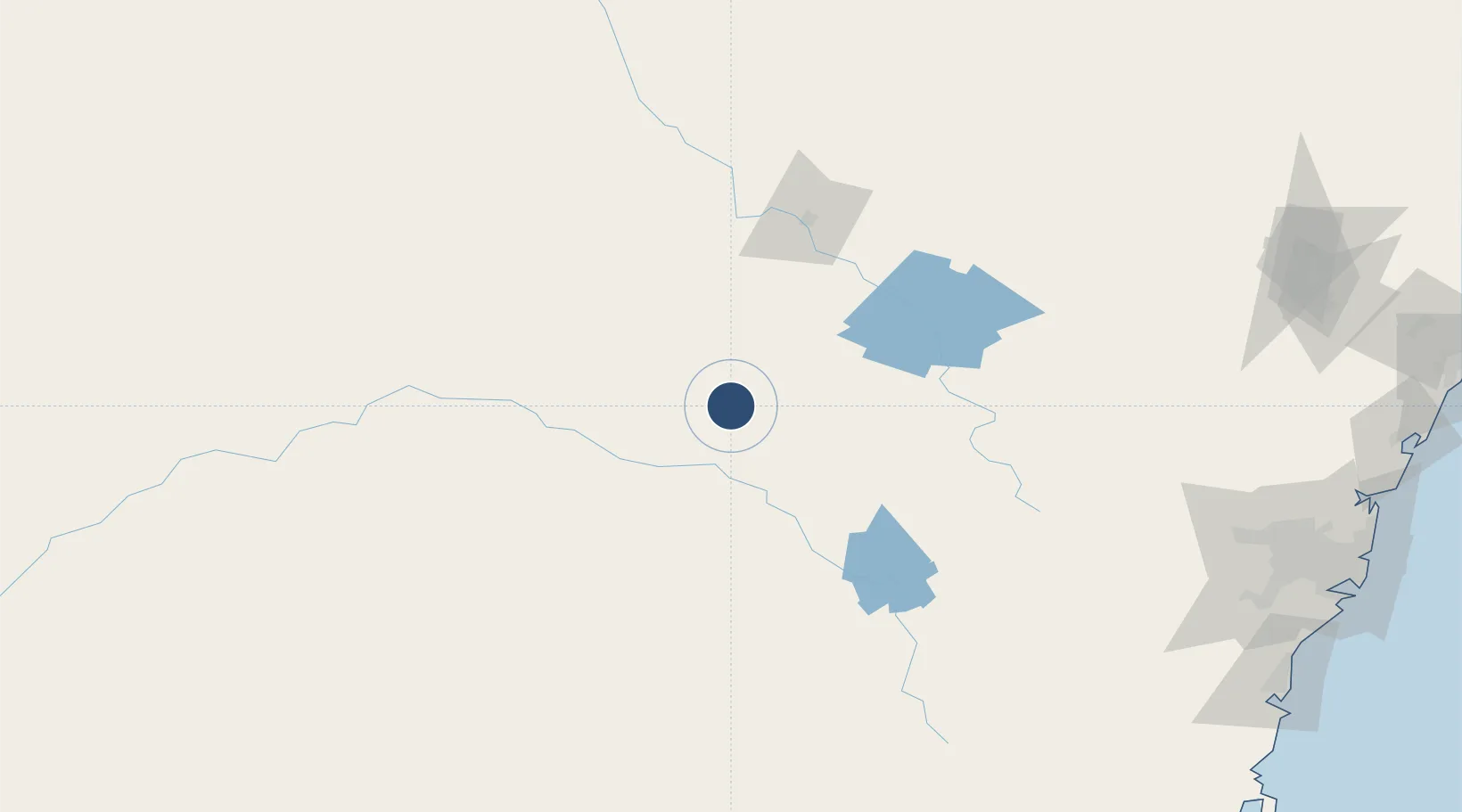
Location
Nearby Logistics Neighbours
Airports
- 1Forbes Airport38 km
- 2Orange Airport88 km
- 3Cowra Airport88 km
- 4Narromine Airport102 km
- 5Dubbo City Regional Airport107 km
Cities
- 1Spring Hill91 km
- 2Narromine100 km
- 3Blayney104 km
- 4Koorawatha104 km
- 5Bendick Murrell117 km
Ports
- 1Sydney287 km
- 2Port Kembla290 km
- 3Botany Bay294 km
- 4Jervis Bay323 km
- 5Newcastle331 km
Trade Zones
DatabookThe Record of Consolidated Knowledge
Australia beyond logistics?