Transport Functions
Rail
Road
Hub Profile
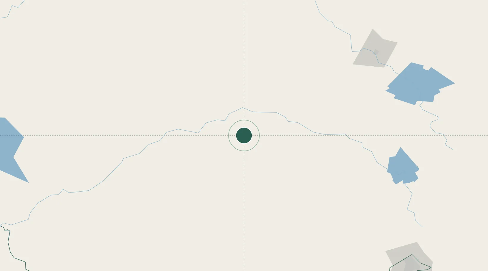
Place type
Populated place
Region
New South Wales
Population
239
Time zone
Australia/Sydney
Elevation
240 m
Location
Nearby Logistics Neighbours
Cities
- 1Ungarie33 km
- 2Lake Cargelligo34 km
- 3Wyalong74 km
- 4Binya95 km
- 5Barellan97 km
Ports
- 1Batemans Bay404 km
- 2Port Kembla405 km
- 3Sydney418 km
- 4Jervis Bay419 km
- 5Botany Bay422 km
Airports
- 1West Wyalong Airport71 km
- 2Griffith Airport109 km
- 3Forbes Airport113 km
- 4Temora Airport132 km
- 5Narrandera Airport142 km
Trade Zones
DatabookThe Record of Consolidated Knowledge
Australia beyond logistics?