Medium airport · Australia

Dubbo City Regional AirportYSDU
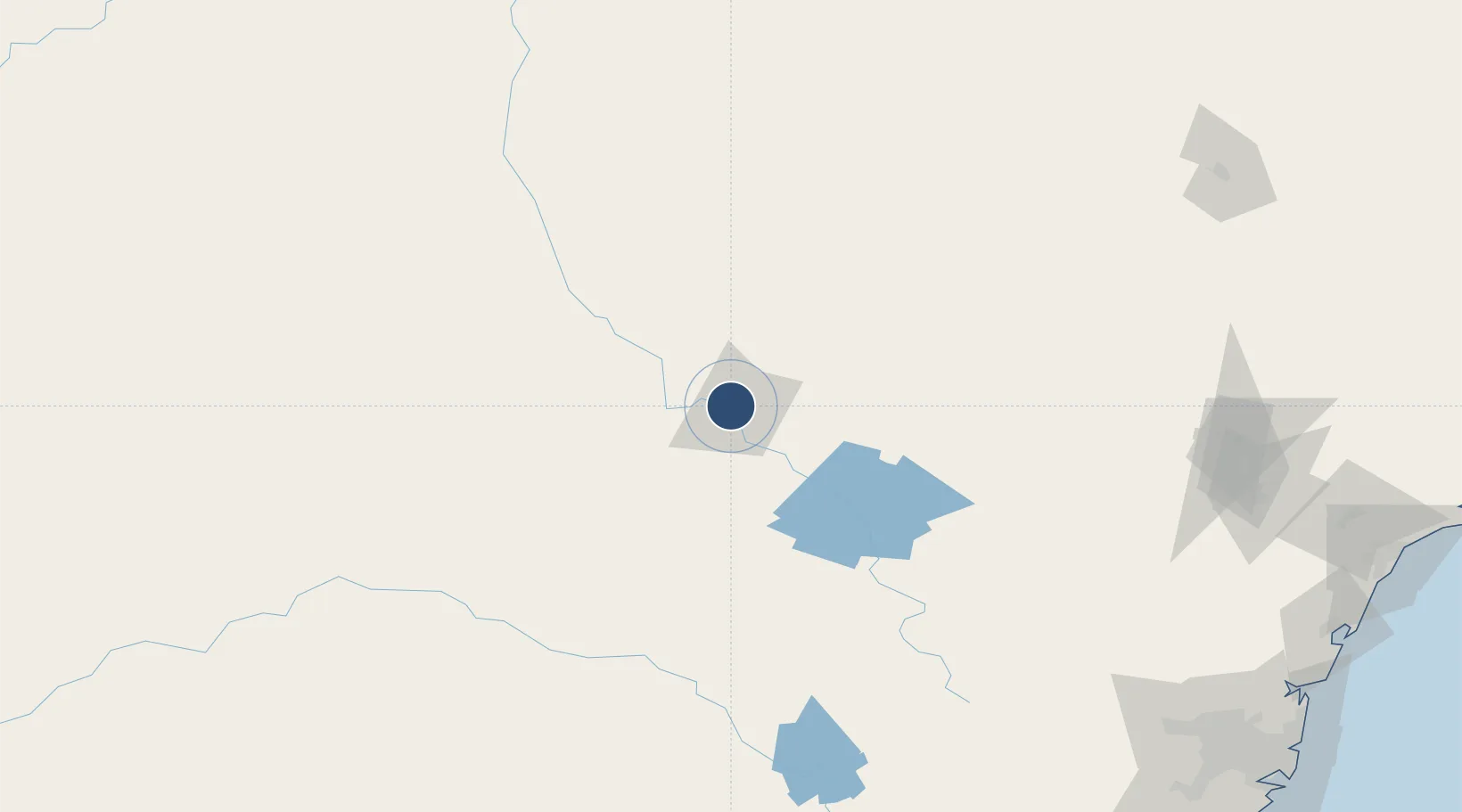
-32.2167°, 148.5750°
5,604 ft
Longest runway
2
Runways
935 ft
Elevation

Runway & Layout

Dubbo City Regional Airport runway & taxiway layout
Runway & taxiway layout — OpenStreetMap (ODbL) / OurAirports

Radio Frequencies

CTAF
134 MHz
FSS
123.9 MHz
MELBOURNE CNTR
OurAirports

Navaids

DU VOR-DME Dubbo 114.40 MHz
DU NDB Dubbo 251 kHz
OurAirports

Runways · 2

RunwayDimensions SurfaceTrue headingLit
05/23 5,604 × 148ft Asphalt 053°
11/29 3,501 × 60ft Asphalt 118°
OurAirports

Airport Specifications

IATA code
DBO
OurAirports
ICAO code
YSDU
OurAirports
Airport class
Medium airport
OurAirports
Scheduled service
Yes
OurAirports
Runway surface
Asphalt
OurAirports
Served city
Dubbo
OurAirports

Location

Location of YSDU
Natural Earth 10m (public domain) · New South Wales · YSDU · -32.22, 148.57GoogleOSMYandex

Nearby Logistics Neighbours

Airports
  1. 1Narromine Airport33 km
  2. 2Warren Airport91 km
  3. 3Mudgee Airport105 km
  4. 4Parkes Airport107 km
  5. 5Coonabarabran Airport118 km
Nearest neighbours — logibook spatial index (haversine) over the source coordinates
Cities
  1. 1Narromine32 km
  2. 2Dunedoo81 km
  3. 3Tottenham115 km
  4. 4Spring Hill143 km
  5. 5Blayney159 km
Nearest neighbours — logibook spatial index (haversine) over the source coordinates
Ports
  1. 1Sydney306 km
  2. 2Newcastle311 km
  3. 3Botany Bay317 km
  4. 4Port Kembla333 km
  5. 5Jervis Bay383 km
Nearest neighbours — logibook spatial index (haversine) over the source coordinates
Trade Zones
  1. 1Latrobe Valley Economic Growth Zone698 km
  2. 2Paga Hill Estate Special Economic Zone2532 km
  3. 3Vanuatu Economic Development Zone2642 km
  4. 4Ihu Special Economic Zone2724 km
  5. 5Tulagi Island Special Economic Zone2833 km
Nearest neighbours — logibook spatial index (haversine) over the source coordinates
DatabookThe Record of Consolidated Knowledge
Australia beyond logistics?
Browse databook

All Sources

AirportsOurAirports
Public domain
Portsthe NGA World Port Index
Public domain (US gov)
LocationsUN/LOCODE
UN/LOCODE — free
Trade Zonesthe World Bank SEZ database
CC BY 4.0
Trade ZonesOpen Zone Map
CC BY
InfrastructureOpenStreetMap
ODbL 1.0
← Australia airports