Transport Functions
Rail
Road
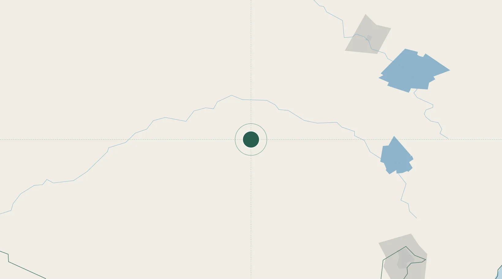
Hub Profile
Place type
Populated place
Region
New South Wales
Population
542
Time zone
Australia/Sydney
Elevation
226 m
Location
Nearby Logistics Neighbours
Cities
- 1Tullibigeal33 km
- 2Wyalong41 km
- 3Lake Cargelligo66 km
- 4Beckom76 km
- 5Ardlethan78 km
Ports
- 1Batemans Bay371 km
- 2Port Kembla375 km
- 3Jervis Bay388 km
- 4Sydney392 km
- 5Botany Bay396 km
Airports
- 1West Wyalong Airport38 km
- 2Forbes Airport95 km
- 3Temora Airport99 km
- 4Griffith Airport107 km
- 5Narrandera Airport124 km
Trade Zones
DatabookThe Record of Consolidated Knowledge
Australia beyond logistics?