Medium airport · Australia

Narromine AirportYNRM
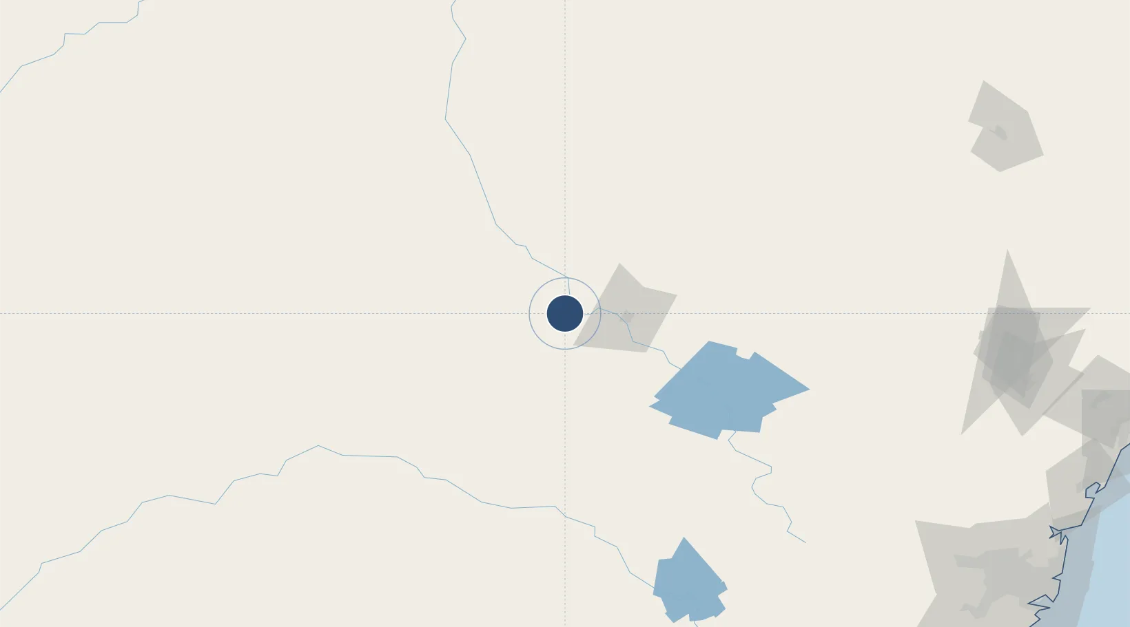
-32.2147°, 148.2250°
4,990 ft
Longest runway
2
Runways
782 ft
Elevation

Runway & Layout

Narromine Airport runway & taxiway layout
Runway & taxiway layout — OpenStreetMap (ODbL) / OurAirports

Radio Frequencies

CTAF
126.7 MHz
FSS
123.9 MHz
MELBOURNE CNTR
OurAirports

Navaids

NRM NDB Narromine 215 kHz
OurAirports

Runways · 2

RunwayDimensions SurfaceTrue headingLit
11/29 4,990 × 98ft Asphalt 121°
04/22 3,609 × 148ft Asphalt 054°
OurAirports

Airport Specifications

IATA code
QRM
OurAirports
ICAO code
YNRM
OurAirports
Airport class
Medium airport
OurAirports
Scheduled service
No
OurAirports
Runway surface
Asphalt
OurAirports

Location

Location of YNRM
Natural Earth 10m (public domain) · New South Wales · YNRM · -32.21, 148.23GoogleOSMYandex

Nearby Logistics Neighbours

Airports
  1. 1Dubbo City Regional Airport33 km
  2. 2Warren Airport67 km
  3. 3Parkes Airport102 km
  4. 4Forbes Airport131 km
  5. 5Mudgee Airport136 km
Nearest neighbours — logibook spatial index (haversine) over the source coordinates
Cities
  1. 1Narromine2 km
  2. 2Tottenham82 km
  3. 3Dunedoo113 km
  4. 4Spring Hill159 km
  5. 5Blayney175 km
Nearest neighbours — logibook spatial index (haversine) over the source coordinates
Ports
  1. 1Sydney333 km
  2. 2Newcastle343 km
  3. 3Botany Bay343 km
  4. 4Port Kembla355 km
  5. 5Jervis Bay401 km
Nearest neighbours — logibook spatial index (haversine) over the source coordinates
Trade Zones
  1. 1Latrobe Valley Economic Growth Zone690 km
  2. 2Paga Hill Estate Special Economic Zone2530 km
  3. 3Vanuatu Economic Development Zone2667 km
  4. 4Ihu Special Economic Zone2720 km
  5. 5Tulagi Island Special Economic Zone2848 km
Nearest neighbours — logibook spatial index (haversine) over the source coordinates
DatabookThe Record of Consolidated Knowledge
Australia beyond logistics?
Browse databook

All Sources

AirportsOurAirports
Public domain
Portsthe NGA World Port Index
Public domain (US gov)
LocationsUN/LOCODE
UN/LOCODE — free
Trade Zonesthe World Bank SEZ database
CC BY 4.0
Trade ZonesOpen Zone Map
CC BY
InfrastructureOpenStreetMap
ODbL 1.0
← Australia airports