Transport Functions
Rail
Road
Hub Profile
Place type
Populated place
Region
New South Wales
Population
72
Time zone
Australia/Sydney
Elevation
226 m
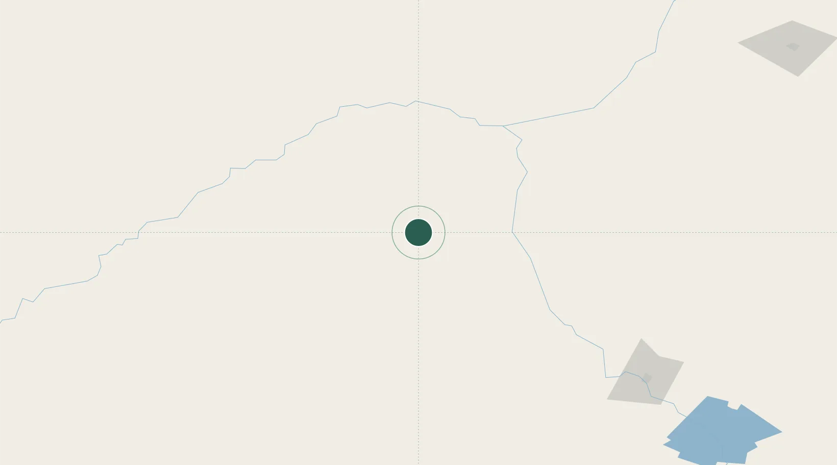
Location
Nearby Logistics Neighbours
Cities
- 1Tottenham150 km
- 2Narromine198 km
- 3Burren Junction240 km
- 4Lake Cargelligo258 km
- 5Tullibigeal269 km
Ports
- 1Newcastle524 km
- 2Sydney528 km
- 3Botany Bay539 km
- 4Port Kembla551 km
- 5Jervis Bay595 km
Airports
- 1Cobar Airport104 km
- 2Brewarrina Airport116 km
- 3Bourke Airport130 km
- 4Warren Airport132 km
- 5Coonamble Airport160 km
Trade Zones
DatabookThe Record of Consolidated Knowledge
Australia beyond logistics?